Question

HTML Report Generator Add Spatial Data


deanhowell
Influencer
Forum|alt.badge.img+23

Hello FME Gurus,


I am trying to create a HTML report that shows both text results and the spatial data, either next to the table or under it.

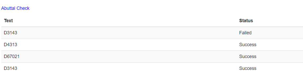
As an example, I have a CAD text label that I am doing a spatial query against a polygon layer to ensure the label is in the correct polygon. I can get the table below to show which ones have failed or succeeded but I would love to include a map showing the two layers, highlighting the failed and or successful features. I don't need a base map, just want to call on the actual spatial data.

2 replies

redgeographics
Celebrity
Forum|alt.badge.img+50

I think your best bet is to generate an image (using the MapnikRasterizer for example) and then add that as free form HTML.


deanhowell
Influencer
Forum|alt.badge.img+23
  • Author
  • Influencer
  • June 20, 2019
redgeographics wrote:

I think your best bet is to generate an image (using the MapnikRasterizer for example) and then add that as free form HTML.

Thanks @redgeographics, I will give that a go :)


Cookie policy

We use cookies to enhance and personalize your experience. If you accept you agree to our full cookie policy. Learn more about our cookies.

 
Cookie settings