Hi,

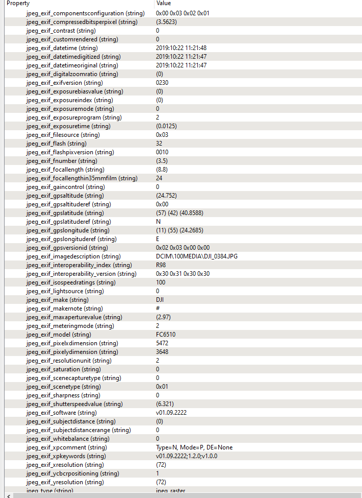
I have a bunch of JPEGs taken with a drone that contain spatial information within the embedded exif.

I am trying to enable each JPEG with the end goal of georeferencing them so that they can be made into a mosaic.

I have tried combining transformers such as the PhotoCoordinateExtracter, CoordinateSystemSetter, RasterGeoreferencer, and the RasterMosaicker to no success.

Also tried FeatureWriter to GeoTIFF then FeatureReader to no avail. When I drag them (JPEG or GEOTIFF) to ArcGIS for example, they all occupy the same space.

What is the best workflow for this?

Cheers

Drone data usually contains lat/long, altitude and roll, pitch, yaw.


Usually people use software like Pic4D to turn that into a georeferenced image.


But I suppose in theory you could do the math to turn the relative altitude and orientation into ground resolution, and then use the resulting values in the RasterGeoreferencer.

I sort of have the OP's problem, I got 900ish JPGs from a flight with a DJI, all I have is these attributes, atm they just stack ontop of eachother in africa. I would like to georeference them and position them correctly. Any tips or where to read how to procceed if I can achicve this in a FME process? or do you need some sort of dronemapping software for this?


To get a good model I would suggest using one of these software for these purposes:


- Pix4D (https://www.pix4d.com/ )


- Agrisoft Photoscan


- Open Drone Map (https://www.opendronemap.org/ )


Hi @nerdnerd_fme,

To expand on the answer by @sigtill, FME has a couple of Hub transformers that might help you:

OpenDroneMapCaller - the most cost effective solution. It will automatically install a Docker image of OpenDroneMap and process your images to extract a georeferenced orthomosaic.

Pix4D transformers - A more comprehensive solution, but more costly, is to get a Pix4D account, then use the Pix4D transformers to load your images and start the processing. Your results will include an orthomosaic, ground model and point cloud. For more information, please see the Pix4D automation article.


Reply