


I am building a workbench that has a GeoTiff Reader, and uses the RasterPropertyExtractor and CoordinateSystemExtractor transformers to report on various qualities of the input image. The bounds, the cell sizes, etc.
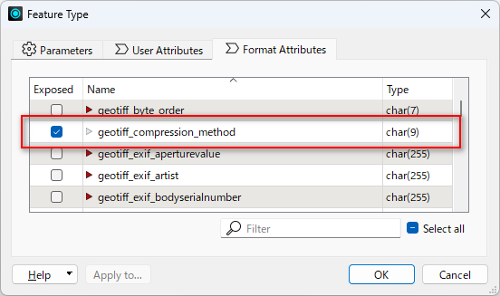
I am hoping for a transformer that reports on the compression method of the input image. LZW or JPEG or something else?
Something similar to CoordinateSystemExtractor but instead a CompressionExtractor