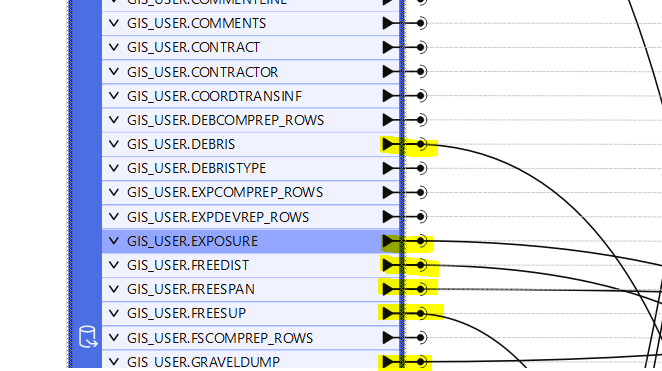
I have a feature reader that’s reading an Oracle non-spatial database. I have a workbench that writes all of the read tables to a file geodatabase. Some tables, I process twice; one where just the flat table is written, and another where the coordinate attributes in the table are used to create a point feature class written to the same file geodatabase. For some reason, only the flat tables are being written and none of the point feature classes are being created. Both work if I run them separately but not if I have two coming out of the same reader port. I’ve hidden the lines to write the flat tables to the feature writer.
Is there a setting in the feature reader that I need to change to ensure it processes multiple outputs for each feature?