


Hi all,
I have a set of input street lines with certain attribute (POSTAL CODES), and I would like to create area polygons from unique values of such postal code attribute.
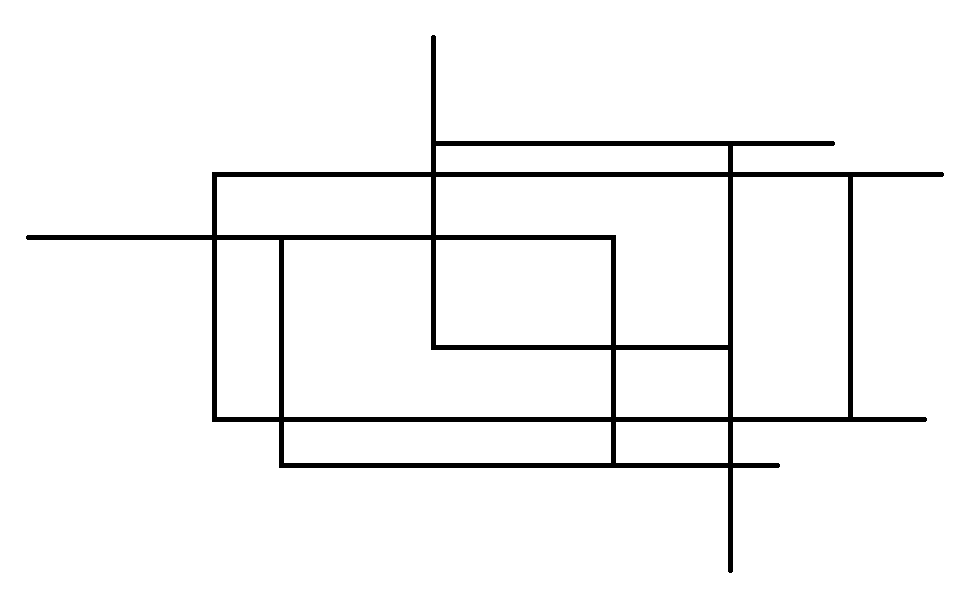
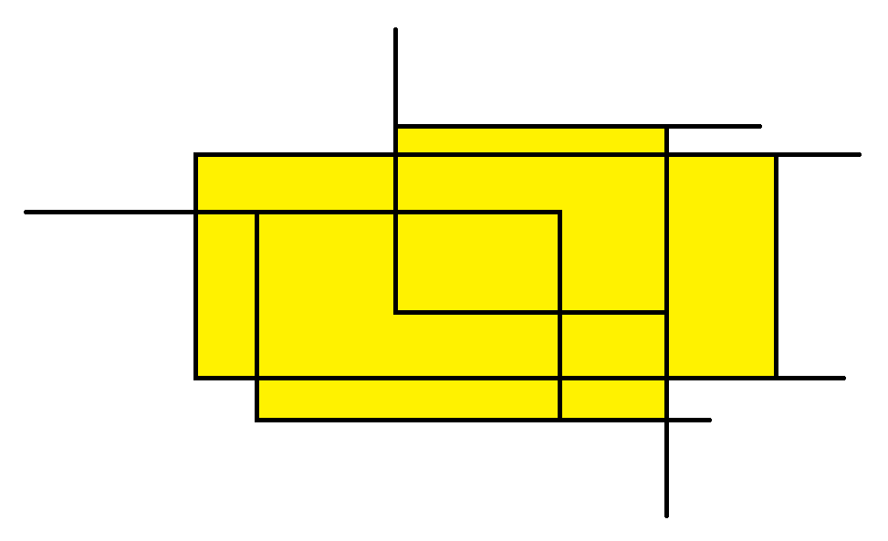
I have utilized AreaBuilder for such purposes and this is an example of the output:
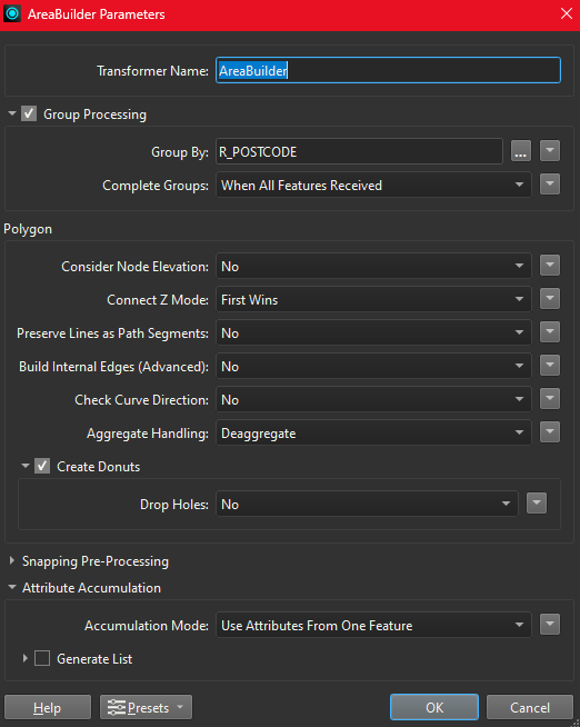
This is the params I have for such transformation:
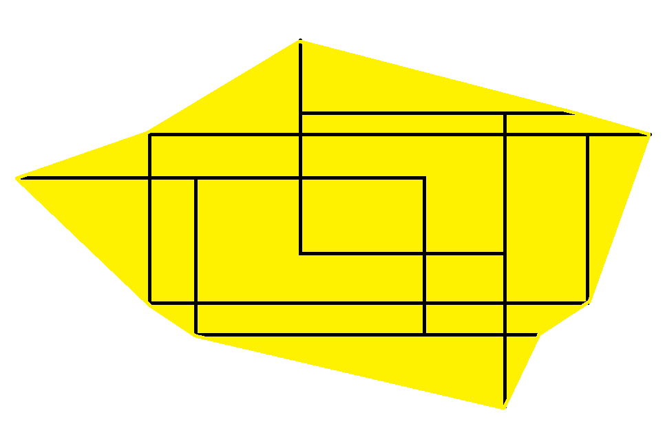
What I would like to have as an output is the area covered by all the street lines with unique postal codes, something more like this:
Is there any other param customization I have missed or something else to do about?
Regards.


