First Question of the Week! Tell us the first way you used FME.


Hi FME Community! Our first Question of the Week is here. 

In case you missed last week’s post… today we’re kicking off the Question of the Week, a brand new activity on the community to: 

  • Unlock your FME knowledge and share your triumphs
  • Shape the future of FME
  • Connect with fellow FME enthusiasts

Every week, we’ll post a simple but thought-provoking question that could be about your FME journey, the power of spatial data, FME innovation, or the future of FME.

Each weekly question you answer earns you an entry in our monthly draw for exclusive Safe swag and points toward badges! Answer today’s question and you’ll be awarded the Socializer (Ice Breaker) question

Let’s kick things off! For our first question, we’d love to hear how you got your start in FME. What was the first way you used FME? Tell us in the comments below.

Cheers,
The Safe Community Team

I used FME for the first time during my internship at LFV (Sweden) as a part of a GIS education, in 2009 I think. I used it to convert files between different coordinate systems. Today I use both Form and Flow in my work and I love it😃


My first time using FME was in 2020 in the role of GIS specialist in an engineering company.
Then, it was the only tool at hand to create valid INTERLIS files based on complex data models. INTERLIS is a spatial data language and standard widely used in Switzerland, but hardly anywhere else.

Today, working for a GIS-focused IT firm, an important part of my work is to create and troubleshoot FME workspaces to solve my various customers’ data integration problems. Whenever FME is an option, it is usually the fastest one in terms of development time and also a great platform for prototyping data pipelines.


If I remember correctly, my first introduction to FME was studying a colleague's workspace about 10 years ago. This workspace performed checks on data from our self-written software, but contained an error. Without prior knowledge of FME, I managed to find and fix the error. That was the beginning of many years of use of FME, which still continues today.


Extracting vector data from PDF’s and populating a dashboard with the results. 


My first encounter with FME was around 2010 when I used it to transform a dataset from one coordinate reference system to another.


I first used FME for a University course for my masters degree where we had an assignment to create a 3D model of a small city using a pointcloud, building footprints, and some public space geometry. I started in the middle of the academic year so I had no actual GIS knowledge and this was the first course I had to do. I was basically using FME to do GIS stuff with 0 GIS knowledge and 0 IT like background (I did architecture). Thank god we had to partner up for the assignments or else I would have floundered. The other student helped me out a lot and gave me a crash course in GIS and geometry. He built the workflows and explained how everything worked to me so I could write the report we needed to submit. It was kind of a great way to learn because you can't write a good report without understanding every single step that was taken in FME. We got a good grade and continued to partner up for the rest of the course, I was able to help more with the workflow building as the course went on.


As a senior-level geospatial data analyst, I have heard of FME, yet I have never had the chance to use it. Then last year I got a contract consulting for a major company in New York City, which uses FME as part of their GIS architecture. I took a couple of trainings and created my first FME Form workbenches. Now I am in the process of adapting them for FME Server and will soon have the satisfaction of seeing them in production.


My first exposure using FME was setting up an automated email to our Fire Marshal’s Office. They utilize field maps that we created for tracking community events and apartment inspections and requested a monthly export of the numbers. 


My use of FME was actually the ESRI data interoperability extension.  The extension significantly reduced my efforts in converting ArcSDE based street data to a GeoMedia Warehouse for Intergraph Public Safety CAD mapping.  The workflow was automated completely through model builder, so I was free to work on other tasks while the pc crunched the data through each process.


Back in the 90s we used the Universal Translator to migrate data for university research from one format to another.  It was probably 2 years before I realized  there was more to the software.


My first use of FME was to combine multiple excel sheets with spatial data coming from my company’s database, and setting up a recurring process for that task.


My boss at the time, this was in the year 2000, met Dale and Don at some kind of GIS or map event and he thought that FME was a good program for getting maps from different sources together and transform them into a suitable background map for network information systems. And one day there was a box on my desk with manuals and an installation disc to solve it. I have used FME regularly since then and actually, I have kept that box as a fun memory item.


I switched my job 4 months ago to a new position that requires FME. I went to safe.com and signed up for online training courses. Those courses, taught by Ryan and Sam, introduced me to FME and quickly brought me up to speed, enabling me to create apps. So far, I have created a few apps, such as an app for converting DWG files to shapefiles, an app for feeding spatial information for parcels extracted from tabular data (which involved many cleaning steps to parse out parcels), and an automation to generate HTML reports from Survey123 submissions. I would say I have had a taste of FME and I like it. I look forward to embracing its power in my work.


I started just a year ago. I had a bunch of Python-based jobs running to automate ETL data crunching (frequency-binned interference time-series from several thousand antennas) running periodically on data coming from three different databases for work. These were getting important enough for some people that we figured it had outgrown cronjobs and had earned a place on FME Server with all the GIS stuff people I work with maintain. I could have just have had a big PythonCaller with all of the old script in there, but I figured I might as well try and do things “by the book” and learn the ropes of how things should work in FME, keeping Python code to a minimum (not to mention dependency conflicts had been an issue before in standalone Python, even with virtual environments, so I didn’t want to repeat that in FME by littering its Python environment with superfluous dependencies).

I’m a programmer by trade, I studied sotware engineering, so I’m not indimidated at the idea of writing code, and frustration with the performance of native FME note has been an obstacle at times, but I can’t deny the benefits of having your data flow be expressed as a tree of nodes for explaining to people how the data is transformed at each step of the way. I still use Python code (Numpy/Pandas/Polars) for big number crunching operations and aggregation, since FME stuggles with those, but for general operations, I still try to stick to tranformers. Being able to more easily track when loading errors occur and having a dashboard of all the previous runs has poved very useful, also.

If FME hadn’t been an option, I was looking towards Prefect (which is code-oriented and wraps Python functions to create flows in a fascinating way), but I’m overall satisfied with FME.


The first time I used FME was in college for an assignment that involved converting different dataset formats into esri geodatabases, utilizing Coded Domains and Subtypes. I was fascinated by the drag-and-drop UI and how efficient it was to construct an ETL process versus developing one in Python. Today, I use it on a daily basis to assist the community and customers. It's a really great and powerful tool!


I had hundreds of DXF files with separate layers that I needed to change to MapInfo table files for a utility pole inventory we needed to do in Mississippi. That was normal for me, but I wanted to see if there was an easier way to handle all the automation I was trying to do. Lo, and behold, FME is this application made specifically to convert GIS formats. I had no idea what I was getting into, but it looked pretty cool. I asked the boss if I could use my credit card to get a license and test it, thinking I wouldn’t use it that often. Wow was I wrong. It didn’t take long to find out it did everything better and faster than I could imagine. That was in 2010.


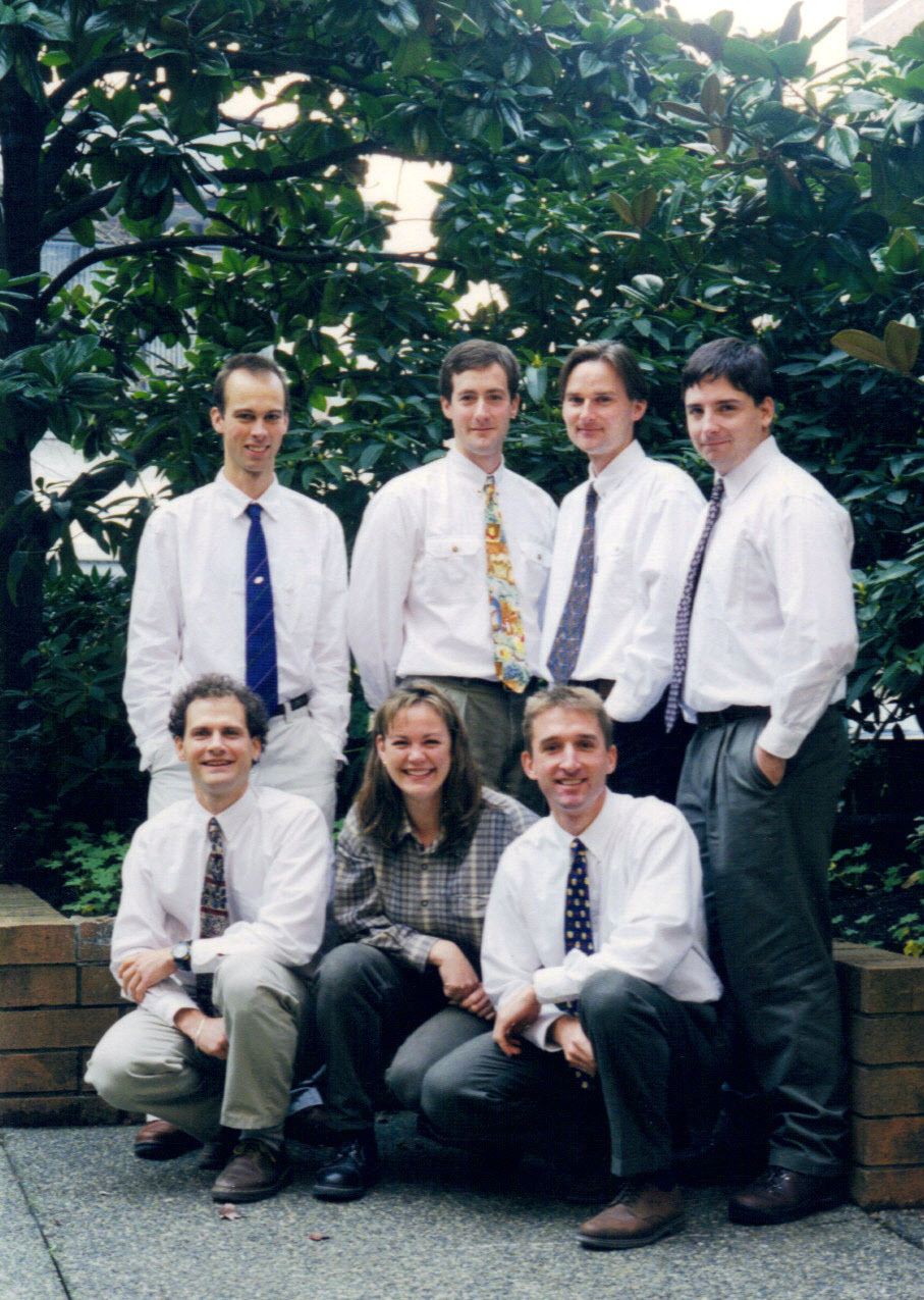
Nice to see Tyson ( @thaverkort  ) mentioning our good times at GroundControl in 1998 with our friends Jeff Moulds, Trevor Simpson and Joost van Ulden.  I think it was indeed Tyson who introduced me to FME. In my case I was trying to create DEMs by “listing” out all the vertices from contour lines in AutoCAD.  This involved putting a highlighter and book on top of the <enter> to keep AutoCAD listing (yeah my AutoCAD skills were crap).  FME solved that problem and many more in my career since then. Today FME has become indispensable to our work at the GIS Centre at Médecins Sans Frontières.

Bonus: a photo from those very days in 1998, could we be any more geeky?


The first time I used FME was at UNBC in Prince George for one of my GIS courses in 2010. We used FME to combine various geospatial formats and convert them into one coordinate system and filetype. I think we also used it to combine satellite images into one file. I hadn’t used FME much again until I joined Safe last year. 


I first used FME when I was on a co-op with the Regional Municipality of York in 2022. I was able to use FME to read in road construction data from multiple municipalities and create an automation which detects conflicts between road construction projects as a way to collaborate and save tax-payers money between the region and the municipality.


My first project with FME was converting shapefiles to KML/KMZ in . - I was starting a new role and handed  a laptop, told to download FME and learn everything I could about KML attributes, as there were hundreds of files being loaded to AWS via FME Server (now FME Flow) for display in a Cesium application.

FME changed my life. The software propelled my career and enabled my partner and I to live/work internationally, which was a goal for many years.


I ran a series of workbenches written by others that did quality checks on huge spreadsheets and then loaded that data into an SDE. Whenever there were failures running the workbenches, I had to diagnose the issues. Also, after the authors left the company I was forced to make updates to the workbenches as schemas, file paths, etc. changed and transformers needed updating. All this was a great way to learn!


I used FME for the first time to resolve conflicts between different data sources for 911 rural addressing, making sure emergency services had all the correct address and road data to reach each location. It was a fun project that made me feel like I was making an impact, and would’ve taken a million times longer without having FME! 


My first time using FME was for formatting and exporting geospatial data to KML as a way to share it with non-GIS stakeholders: https://fme.safe.com/blog/2014/09/operation-pukaurua-clearing-unexploded-ordnance-solomon-kml/


Back in late 90s, first time was writing a Smallworld (now owned by GE Vernova) ACP communicating with a web based GIS application  and FME to read/write AutoCAD DXF files in/out of Smallworld for a Water Utility in Sydney. Thousands of lines made the FME mapping file with the .fme extension written in TextPad. No workbenches back in those days 🙂 Just functions and factories ! I believe FME is still the best ETL for Smallworld Data.


As a GIS engineer, I have discovered numerous data silos in Chennai’s water distribution system. My friend recommended that I attempt FME, a potent data integration tool. Since I was unfamiliar with it, I gradually picked up the skills on my own. It was also exciting to link the data filter and manipulate, among other things. After everything, I'm glad to recommend FME to my company and I hope it happens soon.


Reply