")

Hello
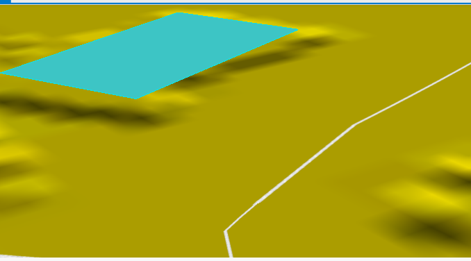
I have 8 building surfaces with z-value. I also have a ground model. I wonder how to get the building surface to go down to the ground model so that there are sides, 4 sides that go down to the ground model. Now the building surface floats above the ground model in arcgis pro. I want to take the result into arcgis pro.
What transformers do I need to process my 8 building surfaces so that they become blocks that correspond to a building.
Now it looks like this in arcgis pro: