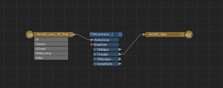
What would be the best way to convert a contour shapefile to a landxml for use in Geopak? I am not very familiar with LandXMLs or Geopak. I tried creating a TIN from my contours using TINGenerator transformer and output the Triangles to LandXML. If there is a better/more correct way to accomplish this I could use some help. I also have the DEM used generate the contours in ESRI grid format.


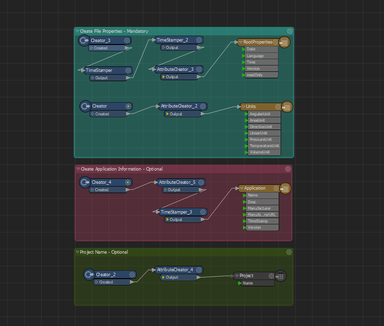
I also found this template for creating a LandXML but am lost as to where I need to input my contour data.
 

hi @tigerwoulds, the answer to this question helped me a lot for writing landxml:

https://knowledge.safe.com/questions/56271/write-landxml-for-civil3d.html


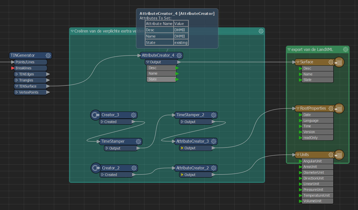
this setup works for me, at least for Civil3D (i'm not familiar with Geopak...):

the units & rootproperties are copies from the template you mentioned in your post, the surface output is from the post i referred to


hope this helps or at least points you to the right direction!

Thank you! This worked great.


Reply