I have LiDAR data with elevation data attached to it. I want to reduce the LiDAR data to the black dots (drainage pits) and deduce z values for all the pits. Is there a way to do it?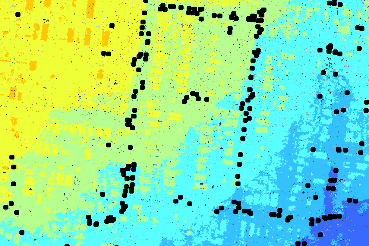

Solved
Clip or Intersect LAS data to a point vector layer
Best answer by gio
@danishukani
You should be able to use clipper (if manhole is point make buffer or create 2DARc360) or spatialfilter followed by a PointCloudConsumer.
Or query coordinates (after PointCloudPropertyExtractor) by setting min/max x and y based on manhole location.
Then some statistics to get height.
This post is closed to further activity.
It may be an old question, an answered question, an implemented idea, or a notification-only post.
Please check post dates before relying on any information in a question or answer.
For follow-up or related questions, please post a new question or idea.
If there is a genuine update to be made, please contact us and request that the post is reopened.


Login to the community
No account yet? Create an account
An FME Account is required to contribute
LoginEnter your E-mail address. We'll send you an e-mail with instructions to reset your password.