
Hi friends, how to add the display of my data to the map (for example, the outline of houses or some zones) when activating the window for selecting an area to FME Server.

Solved
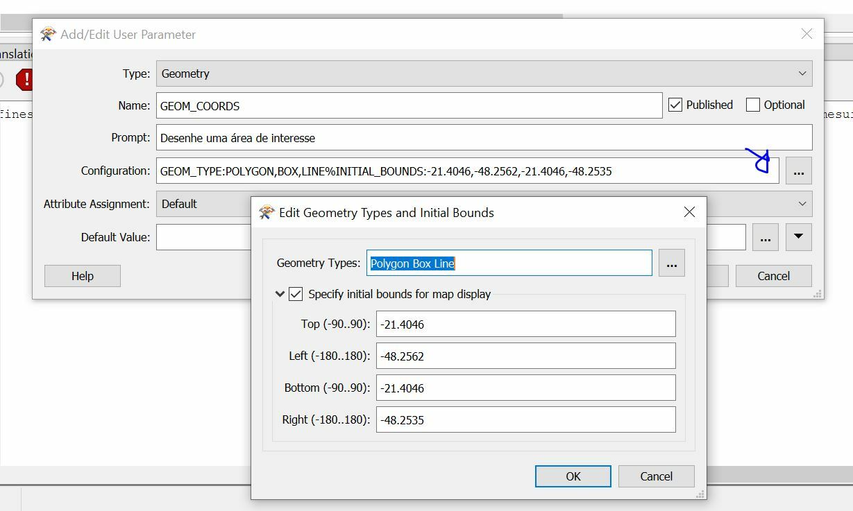
Adding my data to the map for the picker
 +12
+12- Contributor
Best answer by muzhnasto
Colleagues! Please look at this idea and like it!) https://community.safe.com/s/idea/0874Q000000j0MYQAY/detail
This post is closed to further activity.
It may be an old question, an answered question, an implemented idea, or a notification-only post.
Please check post dates before relying on any information in a question or answer.
For follow-up or related questions, please post a new question or idea.
If there is a genuine update to be made, please contact us and request that the post is reopened.


Login to the community
No account yet? Create an account
An FME Account is required to contribute
LoginEnter your E-mail address. We'll send you an e-mail with instructions to reset your password.