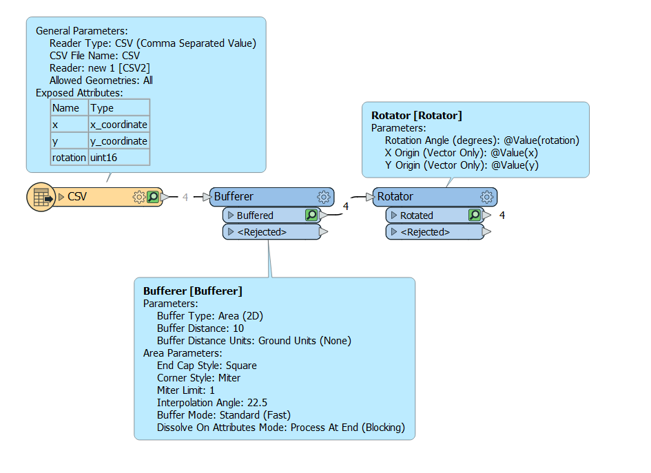
Using a set of input points (GPS data), I buffered each point by 1 meter to create square areas (polygons).


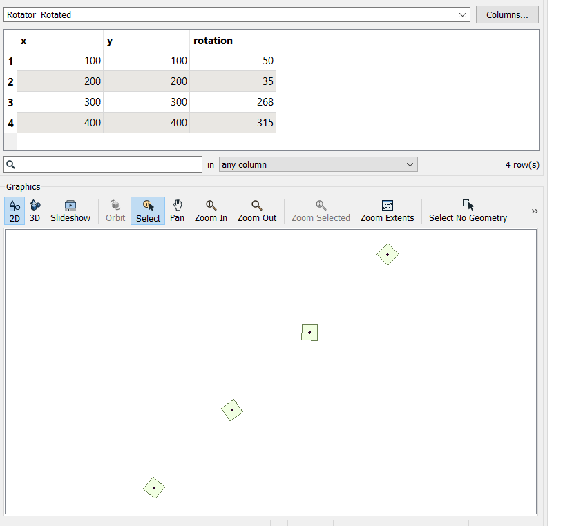
Now, I would like to rotate each square (polygon) by the bearing angle collected from the GPS data. Anyone know how to do this? I tried the Rotator, but after inspecting the output, this doesn't seem to work.


Note: The bearing is an angle measured from North (where Due North is 0º), so Due East would be 90º.

Hello @Daniel Matranga​ , try the attached. I think you are on the right track but my guess just needed a slight tweak.

image1image2


The rotator uses cartesian (arithmetic) angles, whereas your bearing is azimuthal (geographic). You need to convert the bearing to use in the rotator.


See https://community.safe.com/s/question/0D54Q00008IYZslSAH/how-to-convert-arithmetic-angles-to-geographic-angles for one way to do so.


Reply