Hi
I want to make a DSM from a pointcloud.
I have used the rasterDEMgenerator and the imagerasterize.
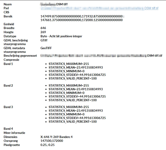
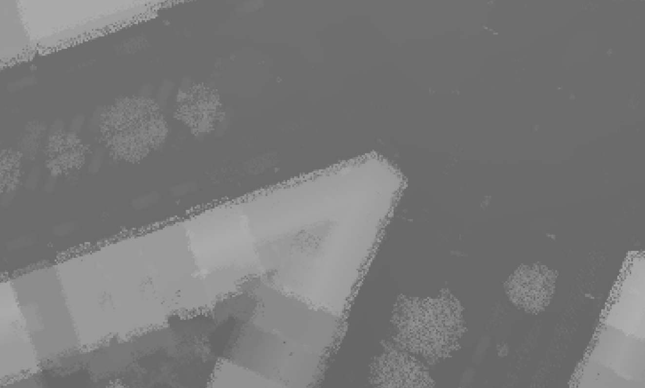
They both work and I get a good result, but only visual. When I load the DSM in Qgis and start to sample it, I get the color codes or something instead of the height.
I can't seem to find a way to change that.
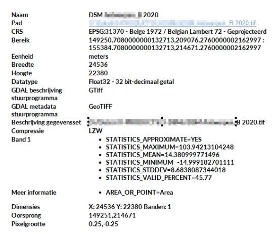
This is how I I would like it:
 This is the result I get with:

This is how I would like it:

this is my result:

This is my workbench: I did change the rasterinterpretationcoercer to gray8, so now I also get one band, but it's still not the height.
The imagerasterizer has only color or intensity as input component...
I think the rasterdemgenerator is based on the imagerasterizer I think so now I don't know if it's possible with one of these transformers.
I also tried to replace the intensity with the Z value, but that didn't work.
Does anybody know how to do it?


