
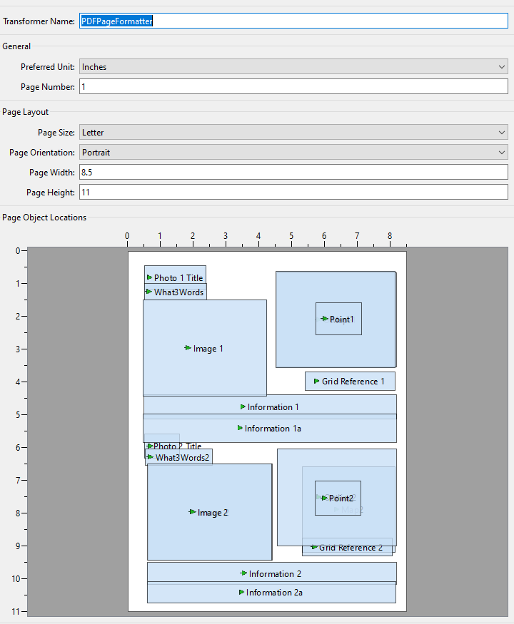
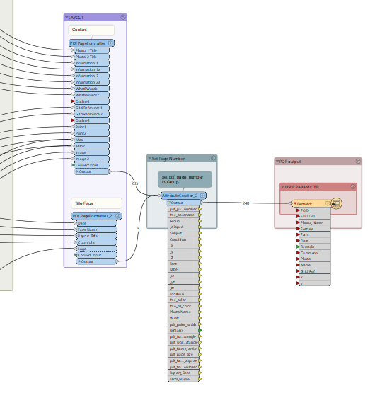
I'm buffering a points shapefile, then using the resulting square polygons to clip a raster (vrt OS backdrop). The clipped rasters are then passed to a PDF PageFormatter to produce location maps for each point. My problem is the raster outputs once written to PDF seem to move - placed in relation to the location of the point. how can I force the rasters to be drawn in the same place on the page everytime?

Question
Placement of clipped rasters in PDF aren't consistent.


Login to the community
No account yet? Create an account
An FME Account is required to contribute
LoginEnter your E-mail address. We'll send you an e-mail with instructions to reset your password.