Hi. I have a feature class (ESRI filegeodatabase) with lines and one with points. The tolerence of the featureclasses are 0.02m, and I need to disperse/move some points which are within the tolerence of each other (or else they are overlapping according to ESRI Utility Network).
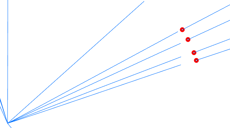
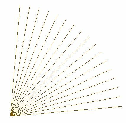
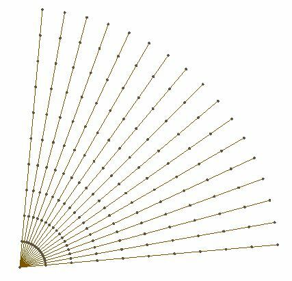
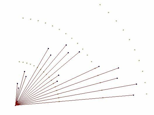
I want to disperse/move the points by 0.025m so they no longer overlap. Just like this:
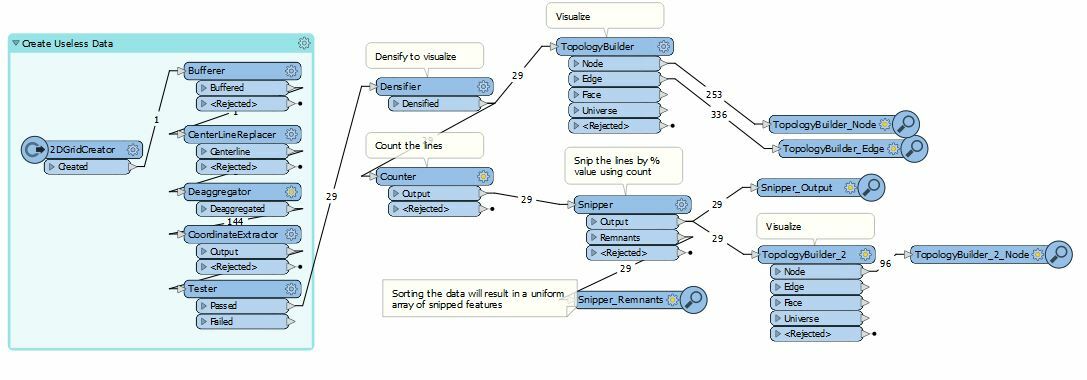
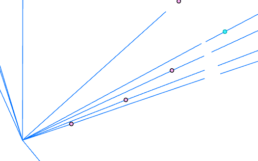 How can I accomplish this? What I've tried so far is finding overlapping points with a neighborfinder and creating a custom transformer for moving the points. The custom transformer uses a snipper (with a set distance) and coordinateExtractor to get new coordinates for the points, vertexcreator for replacing the actual point and then another neighborfinder to find out if the point has other overlapping points. The distance used in the snipper is incremented by each iteration. But this isn't working. Am I maybe overcomplicating things? :)


