Solved
I am extracting Shapefile. Coordinates are reversed. LONGITUDE, LATITUDE. I need to invert to latitude, longitude.location original is in Brazil but show in Atlantic Ocean. reading -54,-31 but correct is -31,-54 degreess. How do I fix the problem?
I am extracting Shapefile. Coordinates are reversed. LONGITUDE, LATITUDE. I need to invert to latitude, longitude.location original is in Brazil but show in Atlantic Ocean. reading -54,-31 but correct is -31,-54 degreess. How do I fix the problem?
Best answer by danilo_fme
Hi @marcelocopetti
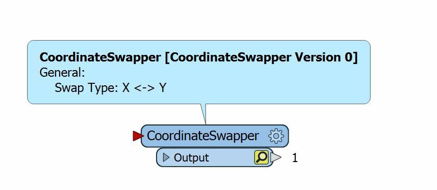
I suggest you to use the transformer CoordinateSwapper:

Thanks in Advance,
Danilo
This post is closed to further activity.
It may be an old question, an answered question, an implemented idea, or a notification-only post.
Please check post dates before relying on any information in a question or answer.
For follow-up or related questions, please post a new question or idea.
If there is a genuine update to be made, please contact us and request that the post is reopened.


