Solved

How to get coordinates in file name from rastertiler?


Forum|alt.badge.img

I'm looking for some help on what I am sure is a common problem hwoever being new to the software I'm not too sure what the correct terms are.

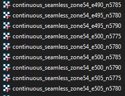
I am using the RasterTiler to split a large DEM into smaller tiles and write them to a new format. This is working fine but I would like to have the a coordinate of a corner of the raster written to the filename of the output. You've probably seen similar below, which is what I'm trying to achieve:

image
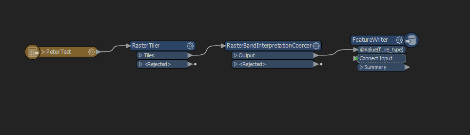
For reference, this is what my workspace set up looks like:

imageThanks for your help getting me to understand this new software.

Best answer by nielsgerrits

You can use the BoundsExtractor to extract the x/y min/max from the tiles, then you can use these attributes in the filename. Sample workspace attached.

View original
Did this help you find an answer to your question?

2 replies

nielsgerrits
VIP
Forum|alt.badge.img+55
  • Best Answer
  • November 2, 2021

You can use the BoundsExtractor to extract the x/y min/max from the tiles, then you can use these attributes in the filename. Sample workspace attached.


Forum|alt.badge.img
  • Author
  • November 2, 2021
nielsgerrits wrote:

You can use the BoundsExtractor to extract the x/y min/max from the tiles, then you can use these attributes in the filename. Sample workspace attached.

Thanks very much for your help, works like a charm.


Reply


Cookie policy

We use cookies to enhance and personalize your experience. If you accept you agree to our full cookie policy. Learn more about our cookies.

 
Cookie settings