Question

Euclidean distance

  • December 1, 2020
  • 5 replies
  • 97 views

Hi,

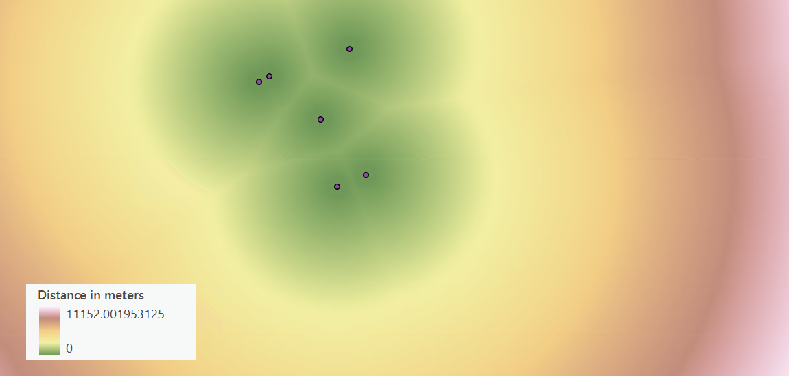
I would like to know if there is any processing in FME as "Euclidean Distance" tool in ArcGIS.


Thank you.


Clara.

This post is closed to further activity.
It may be an old question, an answered question, an implemented idea, or a notification-only post.
Please check post dates before relying on any information in a question or answer.
For follow-up or related questions, please post a new question or idea.
If there is a genuine update to be made, please contact us and request that the post is reopened.

5 replies

david_r
Celebrity
  • December 1, 2020

If you simply need the euclidean distance between two points, the easiest is maybe to create a line between those two points (2 x VertexCreator) and then something like the GeographicLengthCalculator from the FME Hub.


  • September 10, 2021

Hi david. yes... i am also in dire need of euclidean distance (raster) in FME... GLC is not adequate since I'm am generating a land suitability index based on continuous data...


david_r
Celebrity
  • September 10, 2021

Hi david. yes... i am also in dire need of euclidean distance (raster) in FME... GLC is not adequate since I'm am generating a land suitability index based on continuous data...

I'm not sure I understand the question. For maximum visibility, the best is probably to repost as a separate question. Make sure to include as much detail as possible, including sample data and/or screenshots, if possible.


amdubois
  • February 9, 2022

Hello,

I am also hoping to find an equivalent to Euclidean Distance raster from ArcMap in FME. The idea is to input a shapefile (ex. points representing bus stops) and generated a raster with a specific resolution, where each pixel holds a value representing the distance to the nearest point from this pixel.


imageCheers,


sandervanegmond
Contributor
Forum|alt.badge.img+9

Hello,

I was looking for the same functionality and managed to do it with the following transformers:

  1. Create points on the Area of Interest using a 2DGridAccumulator. These points will be the base of your raster.
  2. Use a NeighbourFinder with your input data as candidate and your grid points as base.
  3. Use a 3DForcer setting the _distance attribute as z-value
  4. Use a NumericRasterizer to create the final raster

I hope this helps