Solved

Convert SHAPE point with the dwg

  • April 1, 2020
  • 6 replies
  • 21 views

Hello,


I wanted to know if you have already managed to convert a JPEG image to a SHAPE point with the GPS coordinates (latitude and longitude) of the EXIF data on FME 2018.


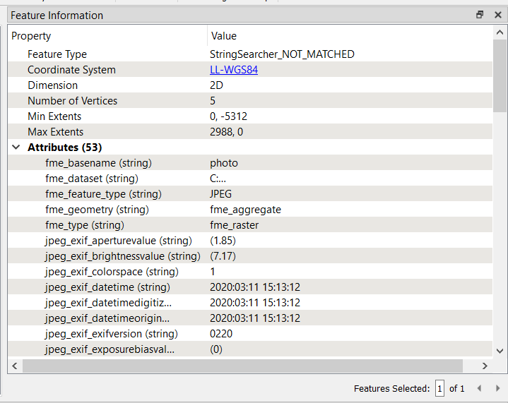
Knowing that I don't have the EXIFGeometryCreator transformer which is on FME 2020.


For the moment I am using the AttributeManager transformer to remove the parentheses contained in the jpeg_exif_gpsdestlatitude and jpeg_exif_gpsdestlongitude data.


Example:


I use this StringFunctions @Trim (@Value (jpeg_exif_gpslongitude), ()) for the longitude which is worth:


jpeg_exif_gpsdestlongitude = (0) (33) (0)


And for the latitude I have:


jpeg_exif_gpsdestlatitude = (44) (28) (4)


However the StringFunctions that I use only deletes me the parentheses at the beginning and end of expression as below:


0) (33) (0 and 44) (28) (4


Do you have a solution to remove all the parentheses?


For the rest I use the transformer VertexCreator, to use these coordinates (altitude and longitude) to be able to obtain a point having as attributes the EXIF data.


Would you be if there is another transformer that can do this transformation? or is it the right transformer, would VertexCreator take into account the coordinates (latitude and longitude) of this type 44 28 4 to obtain a point type shape?


Thank you in advance for your assistance

Best answer by redgeographics

Try this (built it in FME 2017 a few years ago) Georef_fotos_uitlezen_v1.fmw

This post is closed to further activity.
It may be an old question, an answered question, an implemented idea, or a notification-only post.
Please check post dates before relying on any information in a question or answer.
For follow-up or related questions, please post a new question or idea.
If there is a genuine update to be made, please contact us and request that the post is reopened.

6 replies

ebygomm
Influencer
Forum|alt.badge.img+45
  • Influencer
  • April 1, 2020

  • Author
  • April 1, 2020

thank you for your help, I have this error at the level of the first StringSearcher for the latitude (photos in attachments).


I have my StringSearcher configured the same way as you displayed it on your suggestions.


Excuse me i'm a beginner on FME

ebygomm
Influencer
Forum|alt.badge.img+45
  • Influencer
  • April 1, 2020

thank you for your help, I have this error at the level of the first StringSearcher for the latitude (photos in attachments).


I have my StringSearcher configured the same way as you displayed it on your suggestions.


Excuse me i'm a beginner on FME

Are you able to share the jpg?


redgeographics
Celebrity
Forum|alt.badge.img+61
  • Celebrity
  • Best Answer
  • April 2, 2020

Try this (built it in FME 2017 a few years ago) Georef_fotos_uitlezen_v1.fmw


  • Author
  • April 2, 2020

Try this (built it in FME 2017 a few years ago) Georef_fotos_uitlezen_v1.fmw

Do you have any idea what caused this error?


redgeographics
Celebrity
Forum|alt.badge.img+61

Do you have any idea what caused this error?

Yes, check the properties of your shape writer feature type, it's set to fme_polygon for allowed geometry. Change that to fme_point and it should work.

You're also going to have to set up the proper output attributes on that feature type, Shapefile is limited to 10 characters for attribute names so it'll be a big hassle to get all of the Exif data in there and keep meaningful attribute names.