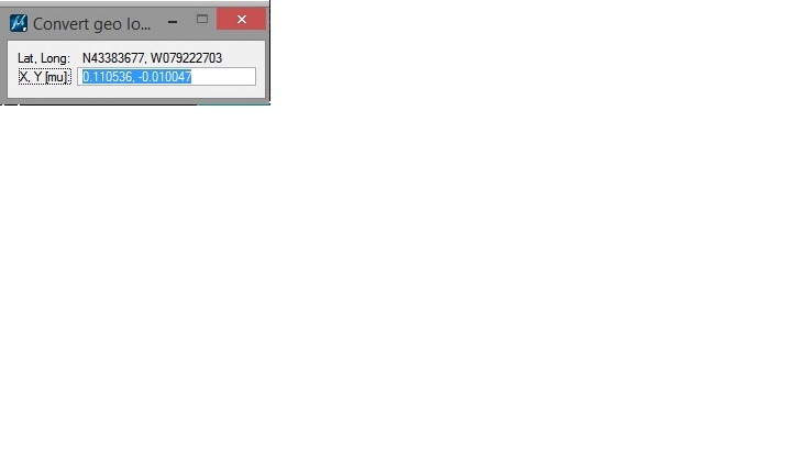
I'm using SmartGlobe (Proprietary tool in Microstation) to convert Geographic Points to Grid.
I'm trying to replicate what happens in the background of this tool but I can't seem to find a reprojector/projector to perform this task?
Source file will be an .xml and output will be a .DGN with all the points projected in there corresponding Grid location.
The Tool looks like this


