Hello.

I have a georeferences Collada file, which is placed in Jersey EPSG:3109. If I load the file in Global Mapper (BlueMarbel) I get the correct position, but in FME the 3D model is being placed in North West Russia: DAEposWhat is the reason for this, and how can I fix it?


I've uploaded the file here: https://drive.google.com/file/d/1ddN133UlQx2BVAqtq7fNzY7k15G6XYjD/view?usp=sharing

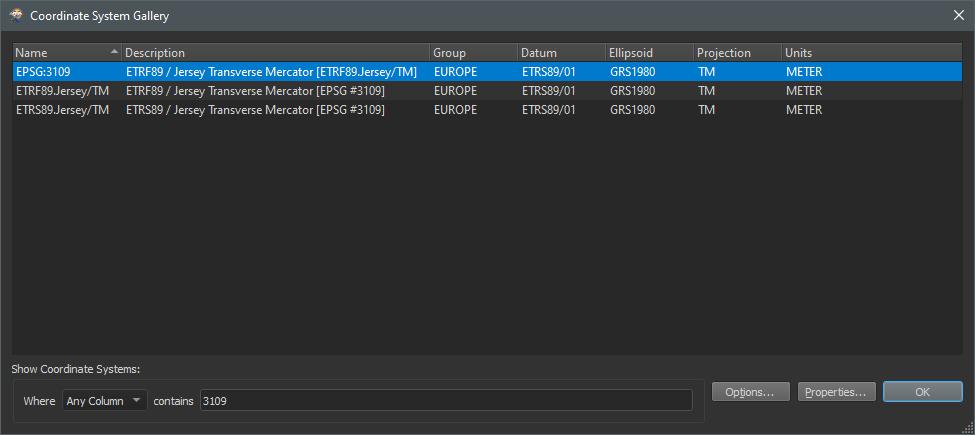
Probably a unit problem. If I scale it with a factor 0.0254 (inch to meter) it does position correctly. EPSG:3109 is a meter system.

2021-04-30_09h42_50


Probably a unit problem. If I scale it with a factor 0.0254 (inch to meter) it does position correctly. EPSG:3109 is a meter system.

2021-04-30_09h42_50

Thank you where much! Is the Scaler transformer the best way of fixing this? Is it accurate enough with 4 decimals?


Thank you where much! Is the Scaler transformer the best way of fixing this? Is it accurate enough with 4 decimals?

To be honest I'm not sure, but I think this should work correctly.


Reply