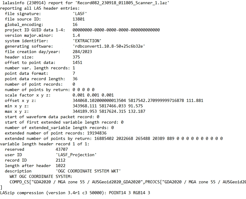
FME can make command line calls - LasTools is usually mostly command line based. You could, for example, read a list of LAS files with FME's PATH reader and then run lasinfo.exe via FME with a SystemCaller.
Something like "lasinfo.exe -i path\\to\\lasfile.las -o path\\to\\output\\las_info.txt "
If you need that in FME then you can use a FeatureReader to read in the output text file
This is how I would do it
Hi @virtualcitymatt ,
Thanks. Yes that is the way I would do it normally (though I would include -nc too because I only need information from the header).
I was asking in case there is a way FME could do this to simplify a workspace I am working on. And to avoid the need for another tool at this point in time
@james_c_452 you can expose some attributes when adding the LAS Reader to your workspace (see the screenshot below). This will allow you to bring in some of the information that you get with LasTools/LasInfo. The PointCloudPropertyExtractor can then be used to get additional information to do with the x,y,z (offset, min, max, etc).
Hi @danminneyatsaf . Yes I have tried this. Unfortunately it doesn't expose all the attributes I am after (that are stored in the header). Or at least the ones like lasinfo. I'm trying to find the extents of each point cloud so I can work out where they are located so I can selectively load point clouds. Point clouds take a lot of room in the FME_TEMP folder and time to load. Using las info only takes a few seconds to parse a file and doesn't take much room
FME is smart enough that it shouldn't read the whole point Cloud unless it needs to. It will just read the header info for this and only read the actual geoms if it needs to - its the same for GeoTiff.
For this to work you will need to turn off feature caching - but if you just throw down a reader and a bounding box extractor it will just open the header and extract it from there very quickly.