Question

calculate the distance between points base on the road line on each side


mehar
Forum|alt.badge.img

Hi @takashi

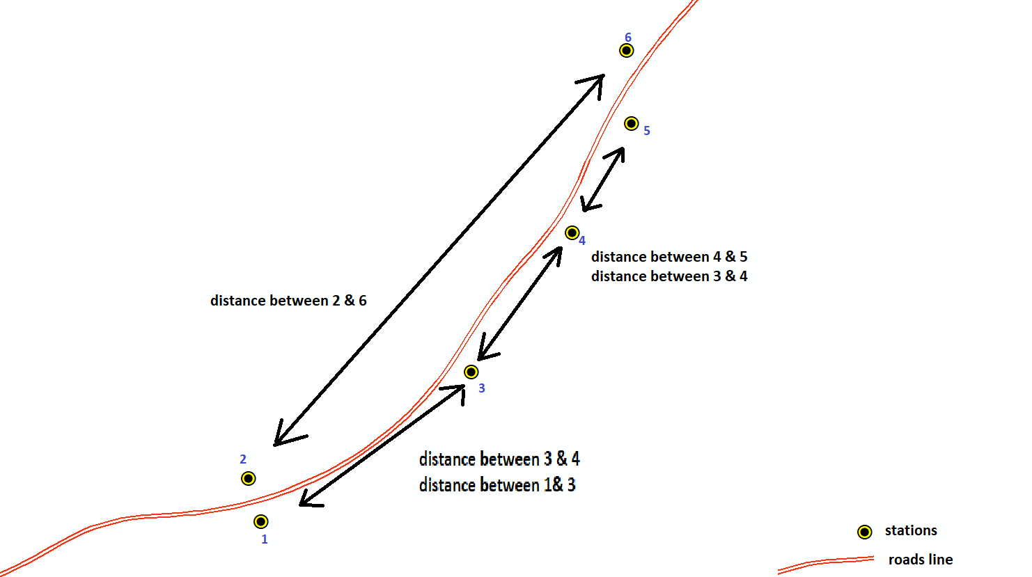
i am totally confused how to calculate the distance between the points of stations

i have tried the neighbor finder but didnt got the result what i am looking

can anyone tell me or help me to finish my task

1- side of the point

2- distance between the points (based on the roads line)

FILES

3 replies

david_r
Celebrity
  • December 4, 2019

If you have proper a proper road topology (e.g. using the TopologyBuilder), you can project each station onto the closest highway segment and then use the ShortestPathFinder to calculate the distance between the petrol stations. That would give you the driving distance between stations.


erik_jan
Contributor
Forum|alt.badge.img+17
  • Contributor
  • December 4, 2019

For the calculation of the side of the road you can use the LeftRightSpatialCalculator transformer.

Then you should be able to use the NeighborFinder (group by the side of the road) or use the option mentioned by @david_r

Hope this helps.


bwn
Evangelist
Forum|alt.badge.img+26
  • Evangelist
  • December 5, 2019
david_r wrote:

If you have proper a proper road topology (e.g. using the TopologyBuilder), you can project each station onto the closest highway segment and then use the ShortestPathFinder to calculate the distance between the petrol stations. That would give you the driving distance between stations.

Was thinking similarly ShortestPathFinder for a topologically connected road, or otherwise use LengthToPointCalculator.


Cookie policy

We use cookies to enhance and personalize your experience. If you accept you agree to our full cookie policy. Learn more about our cookies.

 
Cookie settings