Hi all,
I have some open data from the UK Ordnance Survey of place names.
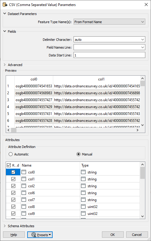
There is a CSV file for each OS grid tile containing XY coordinates and the name and details of the location. However these files do not contain field headers. The field headers are supplied in a separate CSV.
I would like to create geometry files from the CSVs but don't know how to apply the field names from one CSV to others so my outputs can have the correct fields names.
Is this something FME can do? Once the field names are in place then I can use a VertexCreator and assign X/Y to the correct fields
Attached is some sample data.
Thanks in advance


