Hi, I've literally just started experimenting with FME. When I run, it says that the translation was successful. But it doesn't seem to create output. I get a "The source file isn't valid" error when I open the inspector, and when I browse to the folder there's no output file. I'm trying to convert a DGN to Esri shapefile, and I've literally just been following the steps on an online tutorial, and I've used their datafile, and my own. With both input files, I get the same error. Do I have to change something in my general FME settings, or are the settings on my PC the issue?

Solved
"Source file is not valid" error after running

 +5
+5- Contributor
- 86 replies
Best answer by fmenco
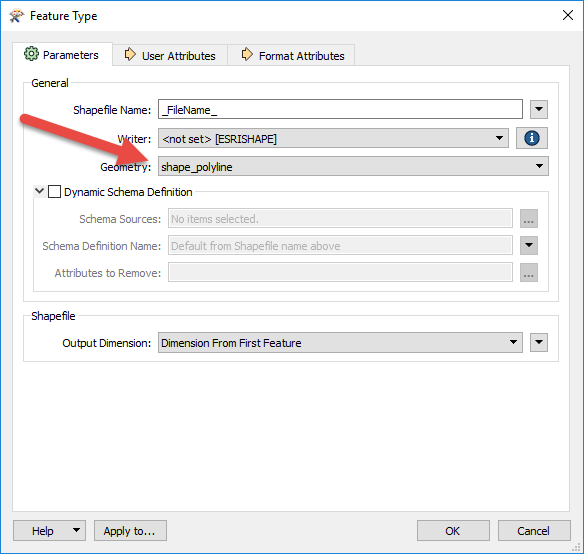
I found the problem, guys! It was in step 3 of the tutorial... I didn't select Microstation design v8, but v7. This because I let FME atomatically detect the format from the dataset, and my file was a v7 file. It also used v7 for the data in the tutorial. I guess with v7, FME has a problem writing the data? That's literally the only thing I did differently, and now I do have output, for both my data and the tutoriald ataset. Thanks for helping me think ..:-)
This post is closed to further activity.
It may be an old question, an answered question, an implemented idea, or a notification-only post.
Please check post dates before relying on any information in a question or answer.
For follow-up or related questions, please post a new question or idea.
If there is a genuine update to be made, please contact us and request that the post is reopened.