Hello All,
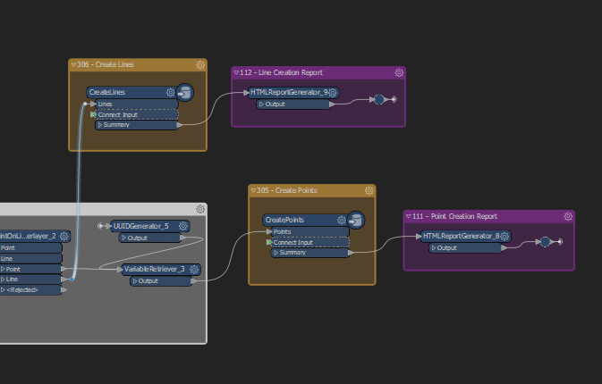
I am trying to understand the best way to take a series of features that are created when I import a DWG and export to an XML file based on the Esri Cadastral Fabric Data Model.
Basically the validation creates a four tables that form a hierarchical structure - plan, parcels, lines and points. A plan contains multiple parcels and each parcel contains multiple lines and each line contains multiple points.
The model is fairly complex but at present the data is output to PostGIS tables.

I have an XSD that has been created from an existing XML - see attached zip file.
What I am seeking is an understanding how to take the four tables as above and create the XML based on the XSD structure rather than sending them to PostGIS.
Any examples or assistance would be very much appreciated.


