Hi there
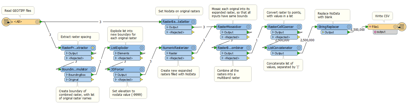
I have a question relating raster/point cloud. I have a zip file with a variable number of rasters.
The boundaries of each raster can be different and there could be non common cells.
I have a worksheet where I can create separate csv files with x|y|z lines.
Bit I need to create one single csv with a combination of all the rasters.
The lines for this csv must follow this schema:
x|y|zraster1|zrster2|....
for non common cells
x|y|z||zraster2||zraster4| etc
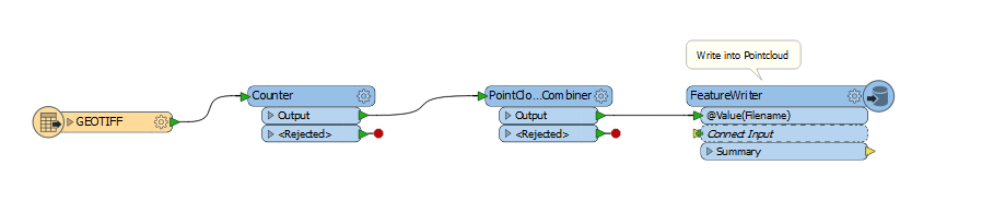
How can I do it? I´ve figured out a way with feature readers and concatenating strings but it´s painfully slow for big rasters (it takes days)
Any help would be appreciated
Thanks
Oskar

")