Morning,
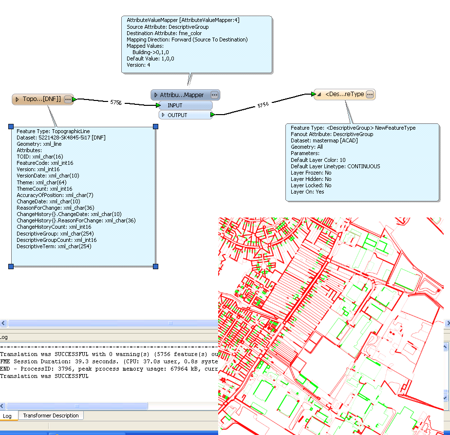
I have been happily using FME to translate out raw MasterMap GML files into DWG files for our architects. The fan-out by Attribute has been an invaluable tool.
However, they have now asked if I can get the lines coloured in for them... I have tried everything i can think of but cannot seem to do it.
Ill try to explain further... one of the readers is TopograhpicLine. When fanned out by Descriptivegroup our Architects can switch on and off buildings, a road, general features etc. It is these fanned out features they want different colours so for example buildings red, woodland green.
Any assistance in this would be much appreciated!
Ben


