Hi, @bigharv10
I can suggest a few things.
1) The data in Bowen island example goes through the rasterization step (inside MinecraftRasterizer custom transformer). You can connect Inspector to RasterSelector_3 and inspect the output in Data Inspector. The raster there should have 4 bands. The band 0 keeps z, and shouldn't have a name, but the other three should be named blockID, blockData, and vertical_offset. Check, whether the cells have different values in these bands - if all blockIDs are the same, then you should look for the problem before rasterization, otherwise it is somewhere down the road.
2) If there are no blockID cell values on the raster, check whether MinecraftStylers do the right job - the features leaving them should have attributes called blockID, blockData, and vertical_offset. I think, if no vector features reach rasterization, you would have just a surface made of some default block. In some workspaces I set it to 2. In case of Bowen Island, if I recall correctly, I had a complete coverage with vector features, and didn't need a default block.
3) If the raster looks okay, then we have to inspect the point cloud - if you re-route the output to Data Inspector and check the point components, they should have blockID and blockData components.
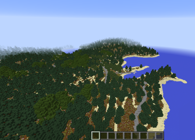
Note that the freshly opened world does not have any trees - they grow while you are in the world. Instead, you should see a lot of saplings. It takes some time, but after 10-20 minutes there should be a lot of trees. Note also, that our later investigation showed, we don't need bone meal for tree growth (and actually, setting it has no effect).
I hope this will help you to move forward and find why your world does not look as you expect. If you need further assistance, feel free to contact me at dmitri.bagh@safe.com
Dmitri


