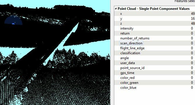
You could try using your entire point cloud as "ground", but that would not give you a true model of your terrain: your point cloud contains vegetation, bridges, buildings etc but there's no way to differentiate them.
So unless you can find a way to classify your point cloud it looks like you're out of luck.
As a quick guess, I would coerce the point cloud to points using the PointCloudCoercer. Create two output connections from there; one goes to a HullReplacer to create a polygon of the outline of the data, the other to a BoundingBoxReplacer to create a polygon of the extents of the data. Then use a Clipper to clip the data outline with the data extents, and what falls 'outside' should be the missing area of your point cloud.
That area you could turn back into a point cloud - with a Z of zero - and write to Minecraft. That way you'd have a complete Minecraft model.
However, as @redgeographics said, it will just be a model of the highest Z values. You won't be able to specify block type in Minecraft unless you can determine which feature a point represents.
The best chance is to look at the number of returns - where there are multiple return values for a point the lowest Z will be the ground level, and it's reasonable to assume the highest represents vegetation. You might also pick out buildings or structures by looking for points with a Z value considerably higher than its neighbor (ie a near vertical slope) - though I'm not really sure how you would do that.
Hope this helps.
Ideally you wouldn't have to coerce the source data into points, but I don't think you can use a point cloud as a Clipper feature (only a Clippee).
I managed to classify the point cloud using LasTools custom transformers in FME (lastools.lasnoise, lastools.lasgroud, lastools.lasheight, lastools.lasclassify respectively).
See the article Command Line Tools Integration by @dmitribagh
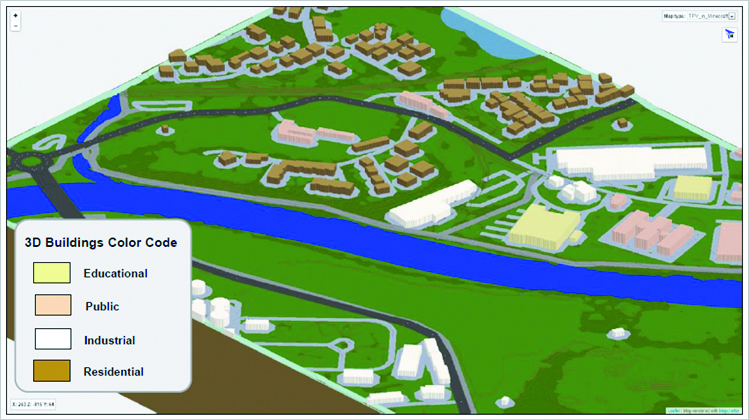
Having the point cloud classified in Ground, Vegitation and Buildings I splitted them by the PointCloudLASClassifier transformer. This enabled me to transform Class-2 into DEM (using RasterDEMGenerator), Class-5 into high vegetation, and class-6 into 3D buildings (by claculating the difference between Min and Max Z values for extrusion). Then I applied proper block-ID for all point cloud features as well as additional OSM layers (streets, rivers, lakes, railways) to get the final Minecraft world as shown in the attached picture.
Thanks @dmitribagh for the support.