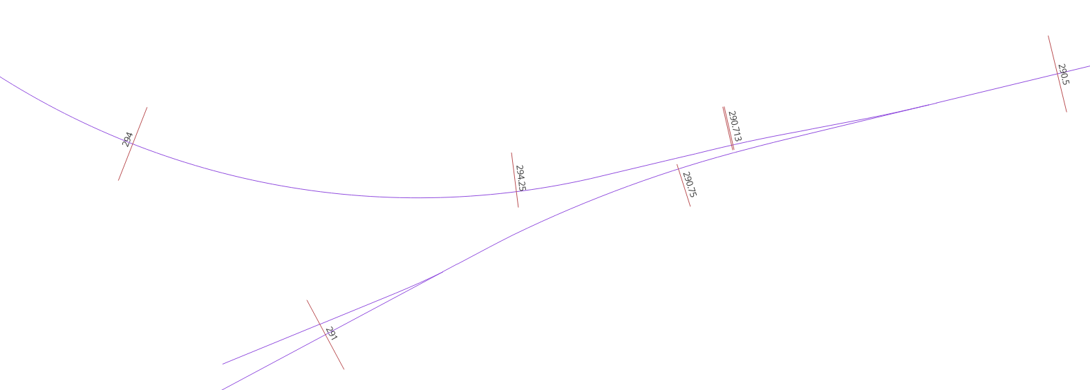
I am calculating measure values on a polyline from mile post signs, but we’ve found a problem with the input data. There are a number of streets that are circles. The street name is the same all the way around this loop, and the mileage increases clockwise around the loop, but when it gets back to the intersection, there are a few incorrectly placed mileposts.
How would I go about throwing out mileposts that change direction, such as going from increasing to decreasing, while on the same street?


