
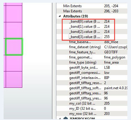
I am trying to convert a GeoTIFF to an Esri polygon shapefile or feature class, not a raster. The GeoTIFF is in WGS1984 which is fine, and contains grids that have stretched value and pixel value fields. I used a GeoTIFF reader and tried both Esri Shapefile and File geodatabase writers as output but I'm getting just one feature. I don't mind if every grid is a polygon since it's a small enough TIFF file that I can classify them after the shapefile/feature class is created but if I can do a simple transofmation to pre-identify classes to create fewer polygons that's fine, too.
I didn't see this capability in current ArcGIS as a direct approach, so I wonder if FME has a better way. Thanks for any assistance you can provide!


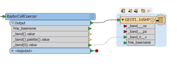
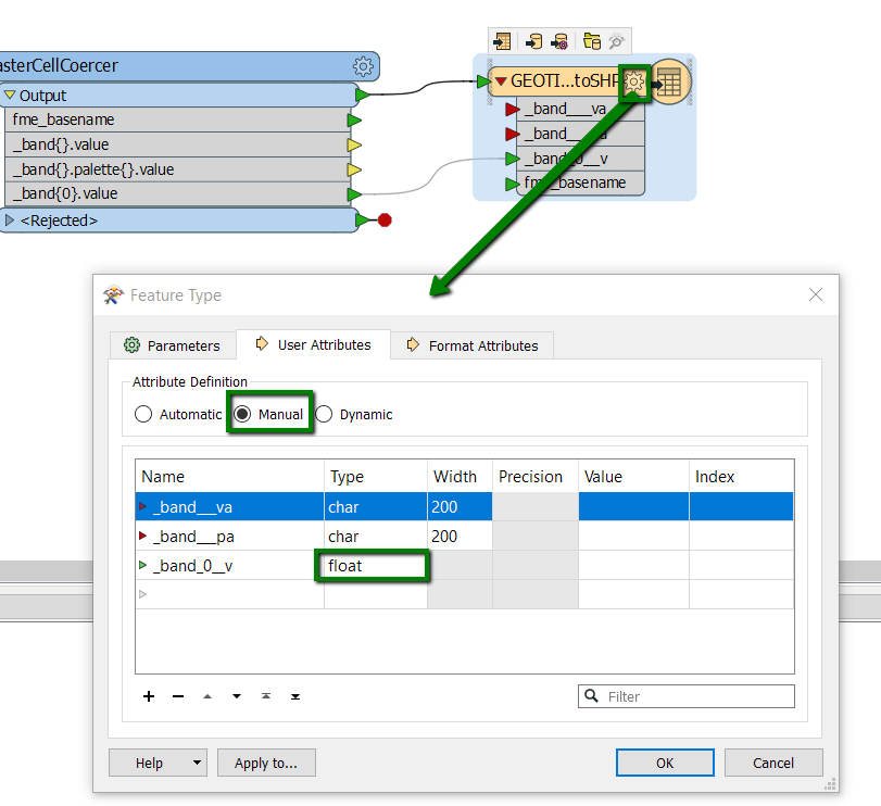 3. I couldn't reproduce the issue where the new attribute on the writer disappears after saving-closing-reopening the workspace. Try again, while using the attribute "_band_0__v", and if that still doesn't work. Maybe download the latest


