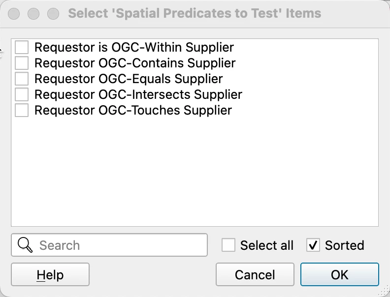
Hi there,
I have 2 parcel datasets, a master copy and a weekly update copy that I need to process into the master copy. Each parcel only appears once in each dataset and has a unique parcel ID so matching is fairly easy. I’ve used a change detector to flag any parcels with geometry updates, but now I need to identify the type of change that has taken place. This could involve parcels being split, merged or just the boundary being updated. What is the best way to do this?
The logic in my head is this so far:
Split parcels - Either, mutliple new parcels being inserted within the boundary of one that has been deleted OR Parcel boundaries shrinking and new parcels being added within boundary of original
Merged parcels - New parcel being inserted that takes the place of multiple deleted parcels OR Parcel boundaries growing to cover extent of deleted parcels


