Dear All, I am new to FME and have little experience but I am stuck on the below and hoping somebody will be able to point me in the right direction.
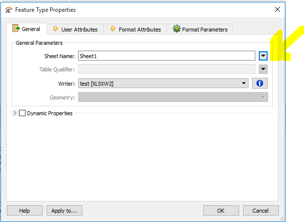
Firstly, I have about 14 geo-database datasets that I am running through a clipper (for a particular boundary) and a number of other transformers before writing into an XLS. I want to find out which datasets apply to my area and produce a spreadsheet with multiple tabs, one for each dataset.
Secondly I want to know how to select only certain attributes from the applicable layer in the geo-database.
I would be greatful for any help offered.
Thank you


