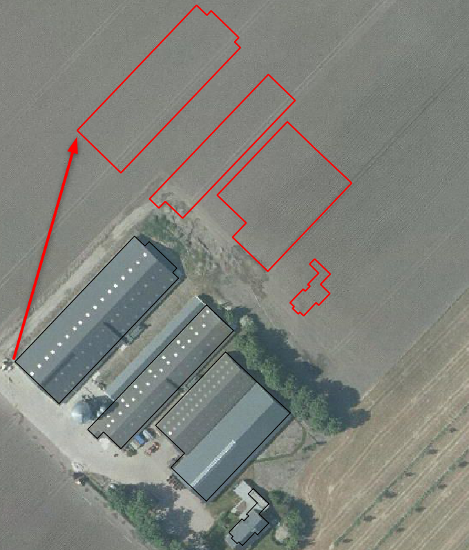
When reading features from a GeoSpatial PDF created by ArcMap, CRS EPSG:28992, I get the following warning in the log:
Unsupported projection provided; Using Non-Earth projection insteadThe result is shifted 117 meters north north east.

Checked the CRS of the frame:
pdf_frame_coordinate_system: _Netherlands-RDNew-2008_0
In the Coordinate System Gallery this CRS is known under the names:
- Netherlands-RDNew-2008
- EPSG:28992
Is the underscore in the pdf_frame_coordinate_system causing the problem?


