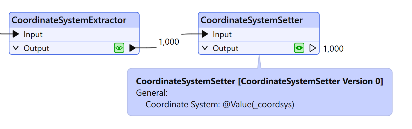
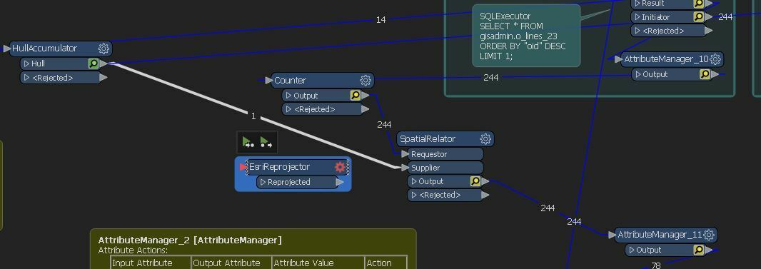
I am reading datasets and can extract the crs (stateplane) from them. but I need to use a spatialrelator for data that is in WGS. I need to be able to determine incoming crs and set a reprojector on the wgs data right before the spatialrelator. In the past i have only been able to accomplish this by stringing together more than 1 workbench.
Any ideas on how to get this done in 1?