Hi! I have a new question today. 

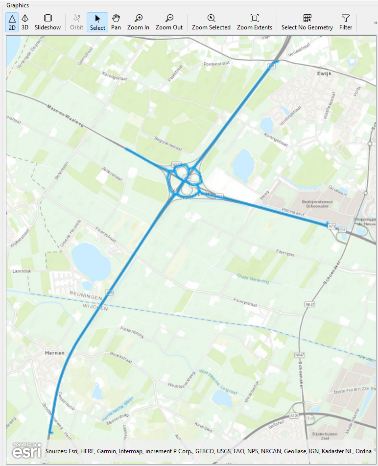
I want to create centerlines on highways. Now, long lines, without intersections, work fine. However, i get wrong results when fme encounters a intersection, like in the pictures below. I expected this and tried to solve it, but it only became worse. 


Does anyone know a right way to do it? 

Thanks in advance!
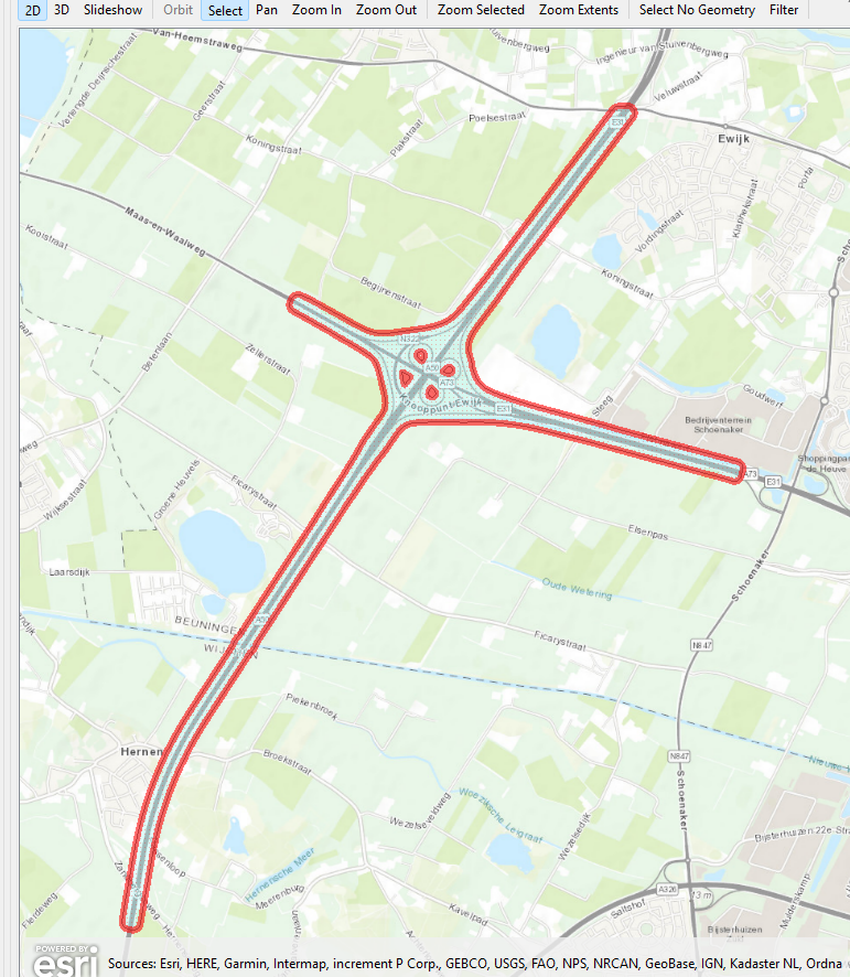


Unfortunately that kinda is what the CenterlineReplacer does… Do you want the individual ramps as well as the main roads? (if you don’t want the ramps, perhaps dropping the donut holes before the CenterlineReplacer could make a difference)


Thinking out of the box here… since it’s a Dutch example: 

Road centerlines are available as open data, you could get those and then use your polygons to do a spatial select.


Hi!

Thanks for your answer! Yes, i want all of them. I tested it before, and the donuts are a solution for the main highway. But i also want the ramps. 

Yes, i did try working with the open data. Which one can you recommend? I already did try the NWB - wegvakken , but that layer isnt that precise in the opinion of my college. 


Thanks in advance! (Dankjewel 😉 )


I would try the BRT, on one of the smaller scale levels they may show roads as a single line (rather than one line per direction)


try the NWB - wegvakken , but that layer isnt that precise in the opinion of my college

It is way more precise than the lines you are getting by using the CenterlineReplacer:

https://app.pdok.nl/viewer/#x=177778.66&y=429989.92&z=10.8652&background=Luchtfoto&layers=f2437a92-ddd3-4777-a1bc-fdf4b4a7fcb8;wegvakken;_;1

Maybe your colleague is thinking of the geometry returned by the Locatieserver for roads, because that is indeed simplified - but NWB data is definitely not. Especially the highways, coming from RWS, are quite good.