
I have been searching the Interent and reading many comments/videos to try to find the answer.
I simply have a drawing in AutoCAD, and I would like to bring this in to GIS as a shapefile. My dwg has points, and each point has one text attribute to it. I can bring in each point fine with FME, but I cannot bring in the attribute text as well.
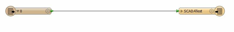
Also, I do not have anything when I expand the node for my dwg file within FME. I thought I would have the attribute in here, but it is blank. Here is what I see.
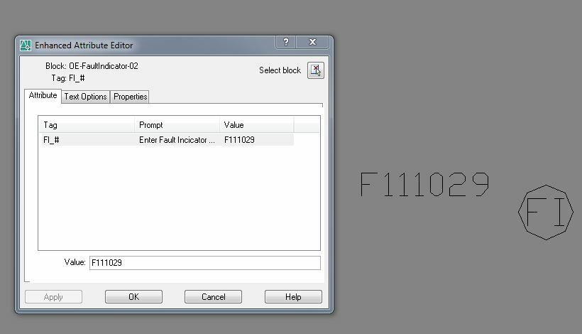
Here is how it looks in AutoCAD. I would just like to bring in the point with the attribute text with it (Fl_#).
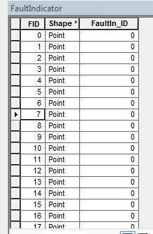
Here is how it looks within GIS.
Does anyone have any suggestions to help me?

