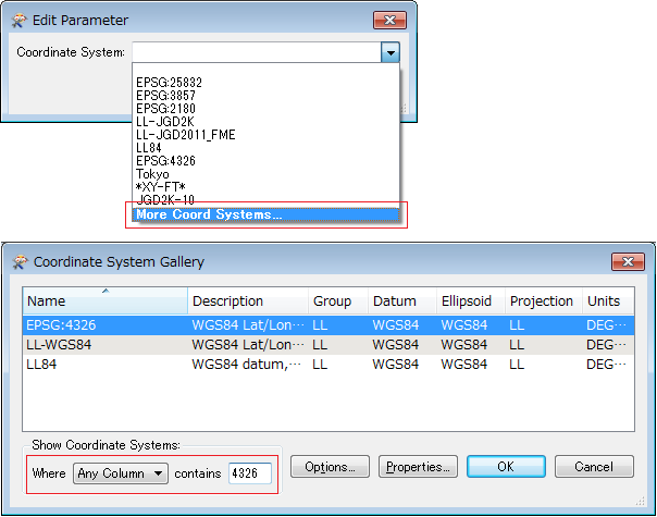
i m converting georss file to shapefile. But when i convert my all georss file to shapefile and i check the data it goes shifted from its position. i m using coordinate converter transformer but it show error. without this transformer file converts to shapefile. Data is 15 km shifting from its original position. Pls Help

Question
Convert Coordinate from pseudo Mercator to Geographic Coordinate System in Shape file
This post is closed to further activity.
It may be an old question, an answered question, an implemented idea, or a notification-only post.
Please check post dates before relying on any information in a question or answer.
For follow-up or related questions, please post a new question or idea.
If there is a genuine update to be made, please contact us and request that the post is reopened.