
Hello community,

I am trying to combine 2 different images.


  1. DSM (GEOTIFF) : Band 0 (Real32) as heights
    1. 50 cm GSD
  2. Orthophoto (JP2): Band 0 (RED8), Band 1 (GREEN8), Band 2(BLUE8), Band 3 (UINT8 - NIR)
    1. 10 cm GSD

My workflows looks like this:


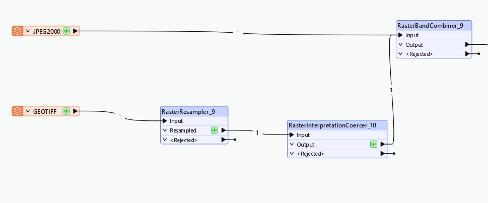
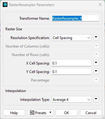
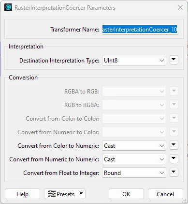
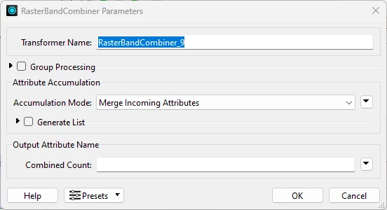
with following settings


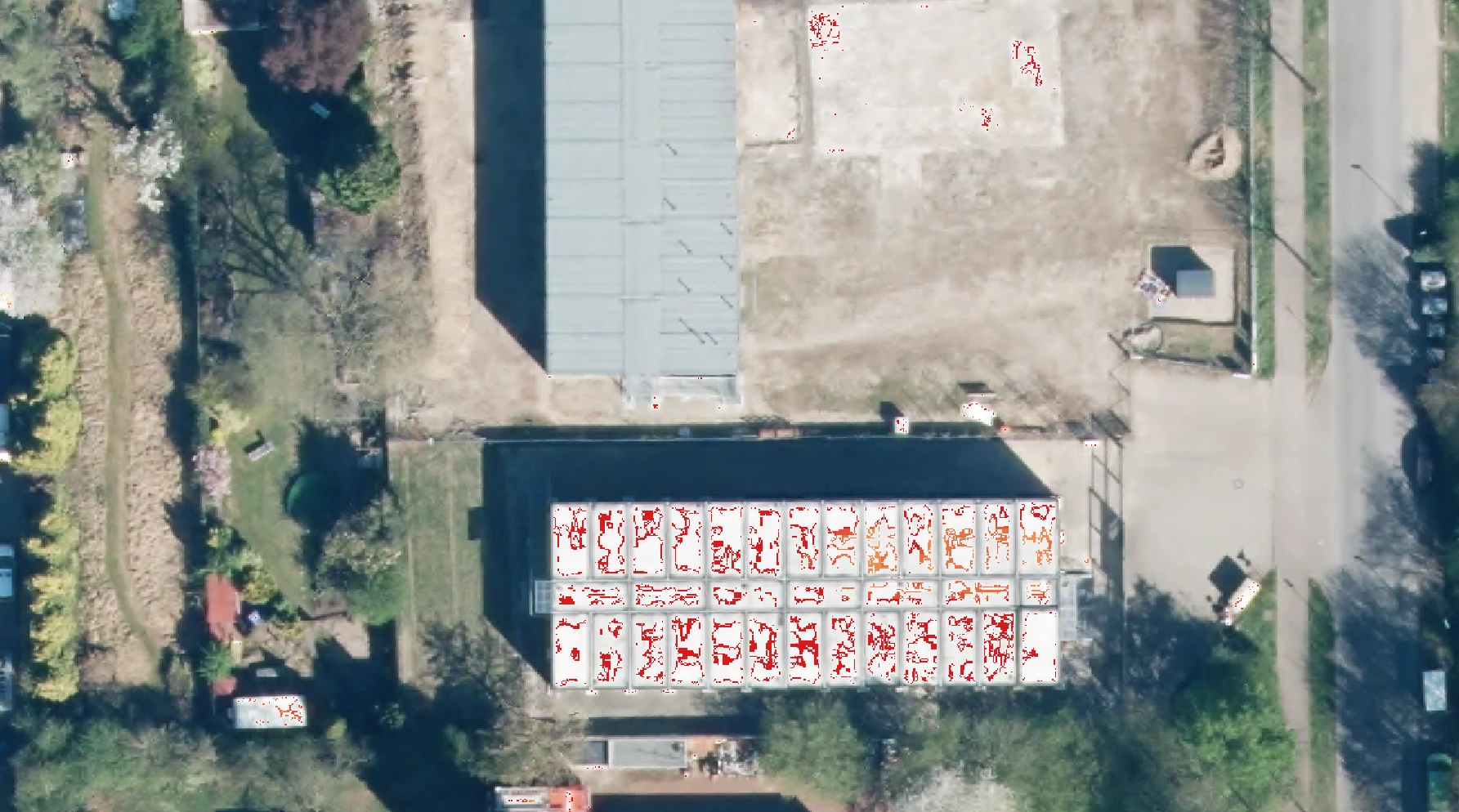
Unfortunetly there are some pixels where values get lost, so when I add an RasterBandAdder, there are holes in it.

Unfortunetly I dont know a solution where I can add those two images into one without loosing informations.


Could it be that you first need to mosaic them together to be sure both have the same pixel layout?

The expected result it a raster with 5 bands? 1,2,3,4 are RGB+NIR and 5 is elevation.

What are the NoData values? Is this 0? Is this the same for all bands?

I normaly don't work with NIR. Could it be this does unexpected things.

What program do you use to interprete the 5 band tiff?


I am sorry, I didnt mention that both raster files have the same position. They are completly overlapping each other.


This is a picture of the combination of DOP + DSM. The underlaying raster (red) is the DSM.


What are the values of all bands on the location of the red area's?

Looks like the area is pure white. That would be 255.255.255. Probably 255 is the NoData band as well.