Hello,
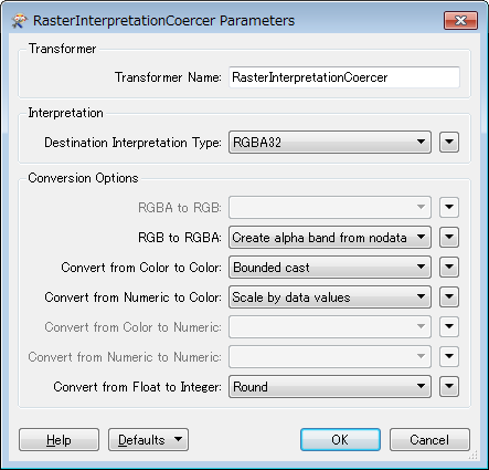
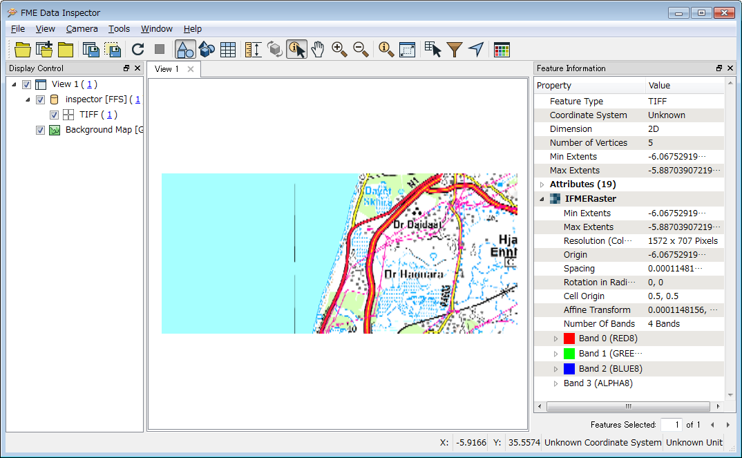
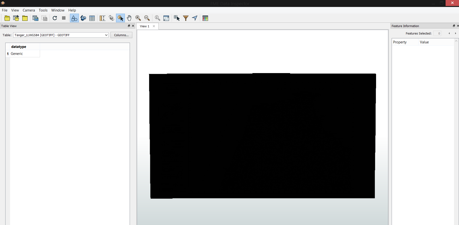
I've geoereferenced a raster map using ArcGIS and exported it as GeoTIFF, however, I can't read it properly in FME data inspector, the image appears all black.
Have anyone before faced the same problem ?
Thank you.

Hello,
I've geoereferenced a raster map using ArcGIS and exported it as GeoTIFF, however, I can't read it properly in FME data inspector, the image appears all black.
Have anyone before faced the same problem ?
Thank you.
Enter your E-mail address. We'll send you an e-mail with instructions to reset your password.


")