I've got a weird difference between x-y coordinates between two points which is causing some issues.
Using a FGDB, with a featureclass with points included, as a basemap I draw a polygon using the esri snapping function on. This polygon has its corners snapped to the points and is saved in a .shp shape file. In ArcMap the x-y coordinates of the corner points are exactly the same as the points underneath them.
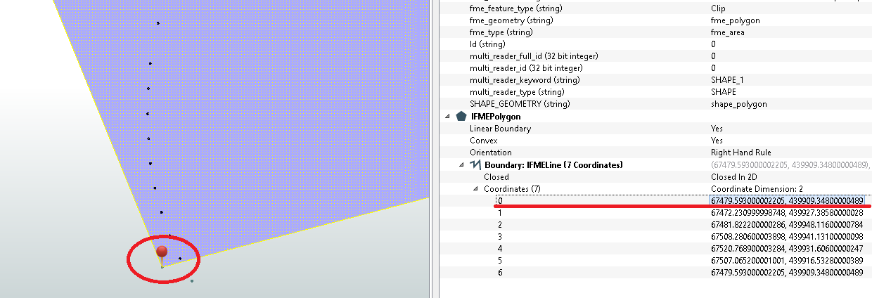
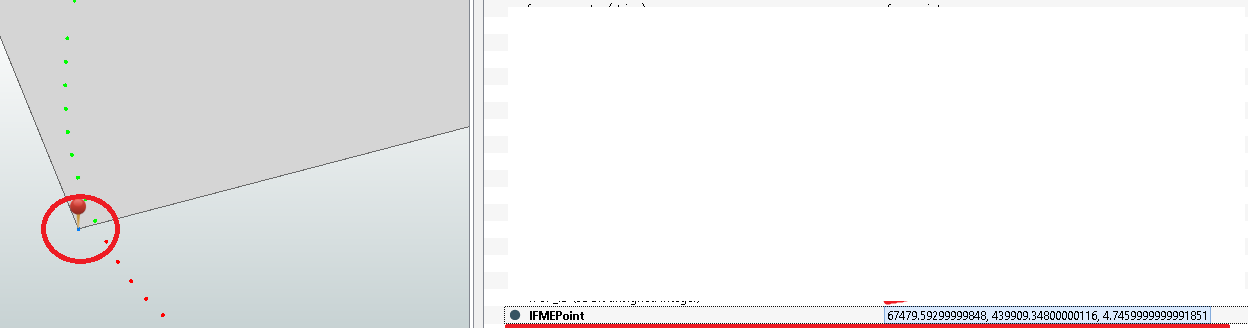
Now when using FME and FME dataviewer these points have slightly different x-y coordinates only differing on the 9th decimal. Meaning that the points do not fall inside the polygon creating difficulties.
To keep it simple the x-coordinate of the point is:
67479.59299999848
and the x-coordinate of the polygon corner point is:
67479.593000002205
Now my question is this:
What makes the differences because the difference isn't just plain and simple rounding. With rounding I would expect a .593000000000 not a 2205 at the end.
Hope someone has an answer to how this works!
Cheers,