


Greetings everyone,
I have a large number of 2D polygons for which I want to determine the Z value. I also have a DTM (digital terrain model).
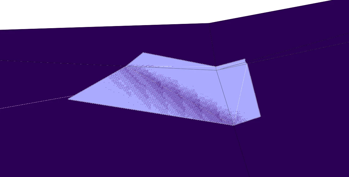
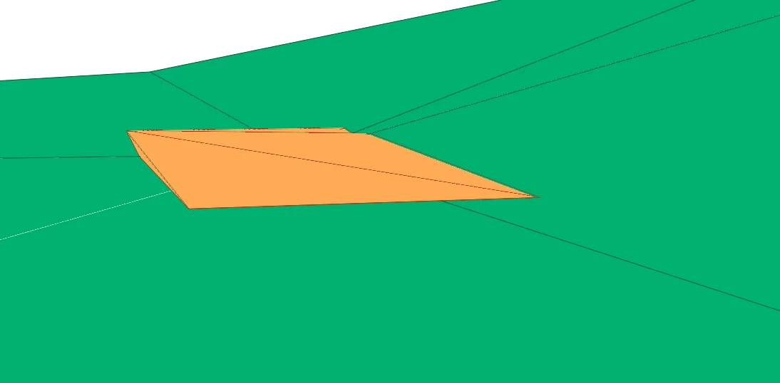
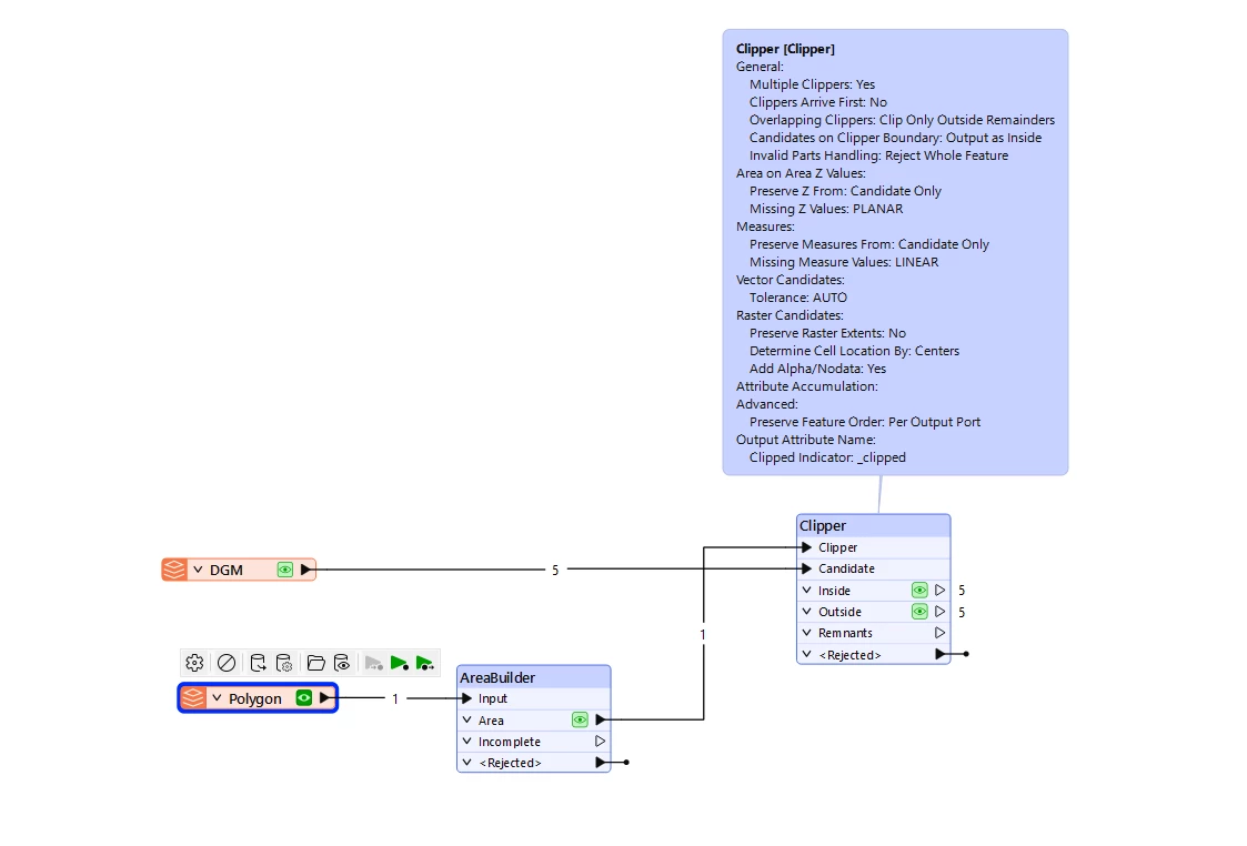
Now I have observed the following: If I take only one polygon and, using the FeatureReader, read in only exactly those triangles of the DTM that are touched by the polygon in 2D, and then determine the Z values of the polygon using the SurfaceDraper (always carrying forward only z_max and using that as the Z value via the 3D_Forcer), I get different Z values than when I first create a buffer around the polygon and then pass the buffer to the FeatureReader and include the triangles around the polygon in the SurfaceDraper.
The triangles from the DTM do not touch each other.
There are deviations of several meters, depending on how strongly the terrain height varies around the polygon.
It seems as if the SurfaceDraper somehow takes the surrounding terrain into account, even if it does not touch the polygon.
It cannot be due to the tolerance; I have already experimented with that.
Does anyone know this behavior?


")
