
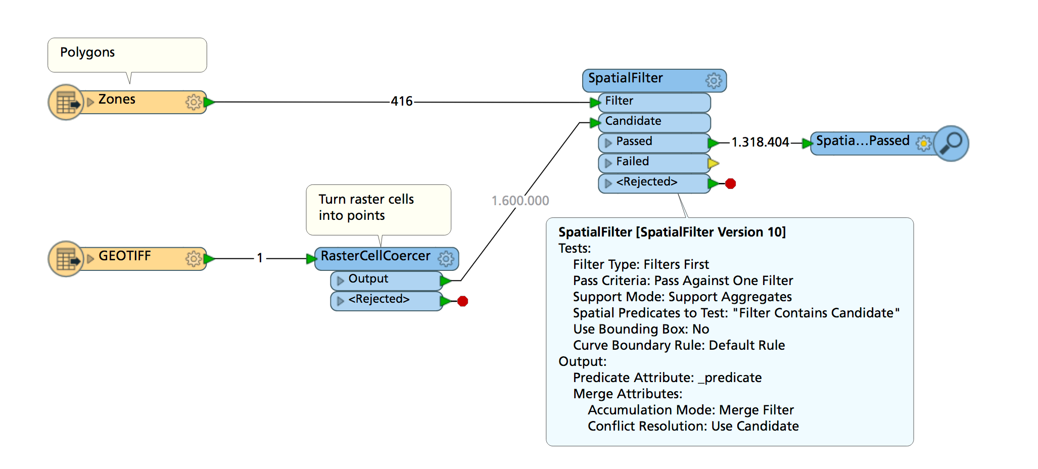
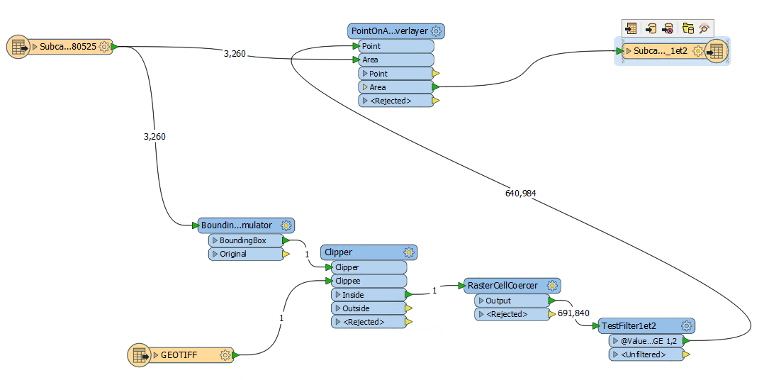
I would like to use each polygon of a shapefile sequentially to clip a big raster then coerce that raster clippee to points and do a PointOnAreaOverlayer to get _overlaps for each polygon (in a new field in the polygons shapefile). How would I go about doing that ?

Question
Loop through features of a shapefile to use them sequentially as clippers
This post is closed to further activity.
It may be an old question, an answered question, an implemented idea, or a notification-only post.
Please check post dates before relying on any information in a question or answer.
For follow-up or related questions, please post a new question or idea.
If there is a genuine update to be made, please contact us and request that the post is reopened.


Login to the community
No account yet? Create an account
An FME Account is required to contribute
LoginEnter your E-mail address. We'll send you an e-mail with instructions to reset your password.