Best Answer

Error while loading of ArcGIS layer to workbench

  • March 5, 2018
  • 5 replies
  • 31 views

Forum|alt.badge.img

Hi guys,

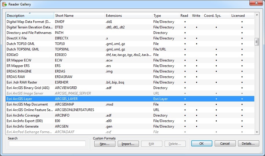
I have a problem loading arcgis layer to the workbench. After licence is checked out, I've got a pop up error 'FME has checked out an Esri license. The product checked out is 'ArcInfo'. Error occurred while attempting to open the dataset 'C:/Users/Downloads/Albian.lyr'. Did you come across this error before?

Kind regards,

Aleksei.

Best answer by abezguzov

@gio @NathanAtSafe The problem was that layer contained a mosaic, which is not supported by Esri Layer Reader. For our particular task, I had to convert footprint to simple polygons, then save to layer again and load it to FME to preserve initial geometry.

This post is closed to further activity.
It may be an old question, an answered question, an implemented idea, or a notification-only post.
Please check post dates before relying on any information in a question or answer.
For follow-up or related questions, please post a new question or idea.
If there is a genuine update to be made, please contact us and request that the post is reopened.

5 replies

nathanatsafe
Safer
Forum|alt.badge.img+9
Hi @abezguzov, thanks for your question!


What version and bit-ness of FME are you using (eg. FME 2017.1 64-bit)? Are you using the ArcGIS Layer reader? Would you be able to attach a log file of the translation with the error for troubleshooting?


Thanks,


Nathan


gio
Contributor
Forum|alt.badge.img+15
  • Contributor
  • March 7, 2018

use a

Esri ArcGIS Layer reader ?


Forum|alt.badge.img
  • Author
  • March 8, 2018
Hi @NathanAtSafe,


It is FME Desktop ESRI Edition (floating) / FME(R) 2014 SP1 (20140325 - Build 14290 - WIN32). Yes, I've tried to use Esri ArcGIS Layer Reader but without success. I'm wondering if it's related to the thing that Esri Layer extension is not defined (as per snapshot).


I've also attached the error log.


Thanks,


Aleksei.


Forum|alt.badge.img
  • Author
  • March 8, 2018

use a

Esri ArcGIS Layer reader ?

cusersl0510503downloadssubmit-log.txt I've tried but it throws back an error. Log as attached.


Forum|alt.badge.img
  • Author
  • Best Answer
  • March 15, 2018

@gio @NathanAtSafe The problem was that layer contained a mosaic, which is not supported by Esri Layer Reader. For our particular task, I had to convert footprint to simple polygons, then save to layer again and load it to FME to preserve initial geometry.