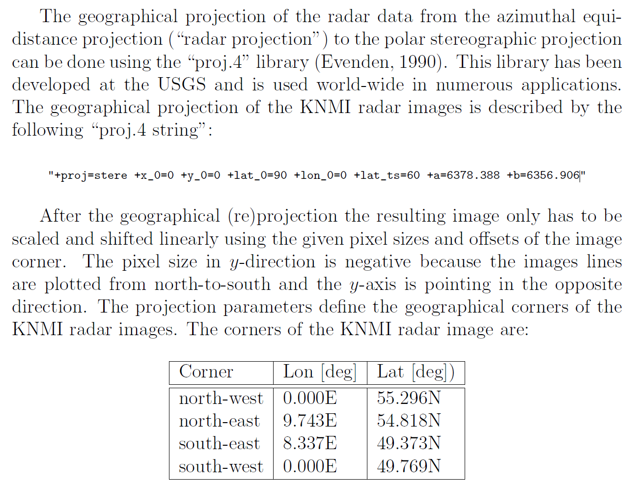
I want to transform a raster with radar rain data. It is open data from the Dutch meteorological society, originally in a h5 format. Tackled all that I still have problems getting the projection right. I would like get it to wgs84/EPSG4326 or another one more commonly used. The projection is described as follows +proj=stere +x_0=0 +y_0=0 +lat_0=90 +lon_0=0 +lat_ts=60 +a=6378.388 +b=6356.906. FME doesn't recognise the string and I have tried to donwload additional ones from the website. Does anyone know how to solve this?
The corner points are given in the picture.
Thanks in advance!


