Question
points to lines

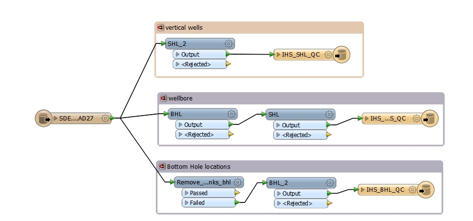
Okay so I'm pretty new to both GIS and FME so keep that in mind. But my problem is that I have a sde layer with all our wells in it, what I'm trying to do is create boreholes off of both a lat long for surface and a lat long for bottom hole location. I have been able to do this without a hitch on another model though the only difference between the two is SDE and CSV. I have a vertex creator for surface hole lat long and bottom hole lat long. Have allowed geometries to geodb_polyline and it worked when reading off a csv. Reading off SDE I get "Cannot write a non-linear feature to a polyline feature class" witch makes sense but I have made this work before... This works when writing to a shape file to the local machine also. So I'm thinking I need a extra transformer or something.. Anyway thanks for looking.
This post is closed to further activity.
It may be an old question, an answered question, an implemented idea, or a notification-only post.
Please check post dates before relying on any information in a question or answer.
For follow-up or related questions, please post a new question or idea.
If there is a genuine update to be made, please contact us and request that the post is reopened.