
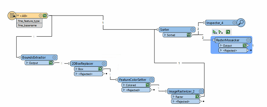
Hello:)
i'm trying to overly 2 rasters :
1- orginal raster (orthophoto)
2- bounding box of the original raster as a boundig box rectangle +100 offset
i'm using rasterMosaicker , but the result only shows the rectangle and not the orthophoto
i tried sorting - didn't help
see the attached workflow and parameters:
 the result that i'm getting in the inspector which is the correct one - black rectangle + orthophoto:
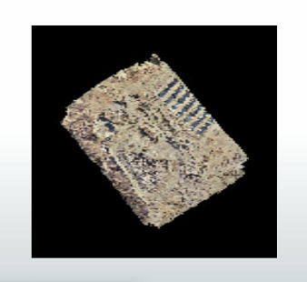 result that i;m getting after the mosaicker (only the black rectangle):
 why i'm getting different result from the inspector ? the parameters for the mosaicker are:
 thanks


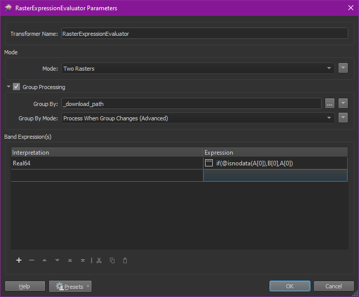 The interpretation value depends on the data types in your raster and the expression used here basically replaces all cells with nodata values in raster A with the cells in raster B. You case raster B would be your black rectangle.

