Hi ,


we wanna create 3D extruded Polygons based on 2D polygons.

As Input we have geojson with geometry type multipolygon.


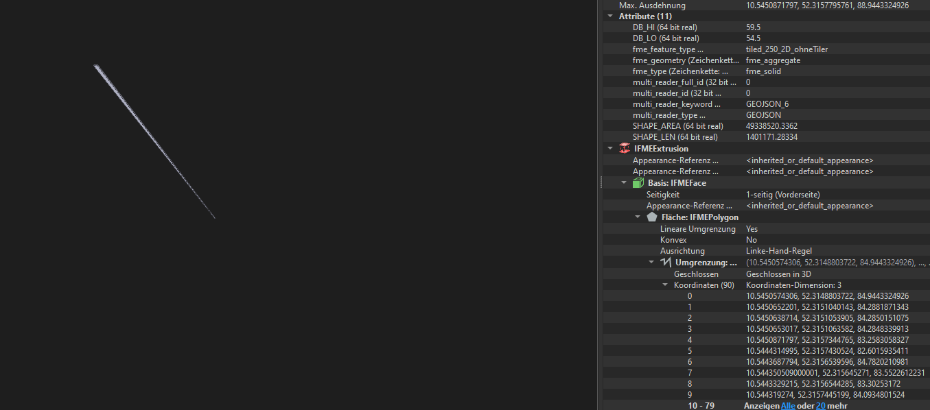
With the Surface Draper we can drap 2D Polygons on the Surface. So for all vertices I get a z-value. This is actually working. Then we extrude these 3D polygons with the Extruder! But I get a strange result in the inspector:
image 

For us it is important that we have a GeoJSON with extruded 3D Shapes which fit our tin! This is right now not the case our polygons are extruded with same height but they have differences in height to each other.


Is it possible to do this like this way:

imageOr do I have to change the geometry type inside the format?


Hope someone can help me?


Thanks in advance!


How do you have the Extruder set up?


Also note that the SurfaceDraper will simply give the z values to the vertices of the drape feature. If there's elevation differences inside the polygon they won't be copied.


Finally, with regards to the layout of your workpace; it's very easy to miss that there is a connection running from the Counter to the DrapeFeatures input port of the SurfaceDraper. I would recommend changing the layout to make that more obvious, maybe even change the port order on the SurfaceDraper to avoid crossing connections.


settings of the extruder:

direction: vertical

distance: 4m


Given the 2d size of the feature shown (the coordinates only seem to differ after the 3rd or 4th decimal) "4" is very large. That would definitely result in what you're seeing there. The funny thing is that the area and length attributes are absolutely massive, but they're just attributes of course and wouldn't be altered if the data was reprojected somewhere earlier in the process.


What coordinate system is your data in? What are its units?


The coordinate system oh the data is epsg:25832!

The output of the surface drapper seems ok but if I extruded these draped features it´s not working. Inside GeoJSON there is an extrusion vector

Maybe it is a format limitation of geojson? As geometry type only (multi)point, (multi)line, (multi) polygon are supported. I found that the focus is on 2/2.5D but not 3D cubes!

(https://docs.opengeospatial.org/is/14-055r2/14-055r2.html#11)


So I guess I have to think about another format which I can use!

(CityJSON, CityGML, 3D tiles...)

Does anyone have some experience how to bring large 2D polygons as 3D cubes draped by tin/las into the 3D world?


Furthermore the Extruder only works with featres which are not aggregated.

So in my case I have to use the deaggregator and then I get an Output that looks well


Reply