Hello,

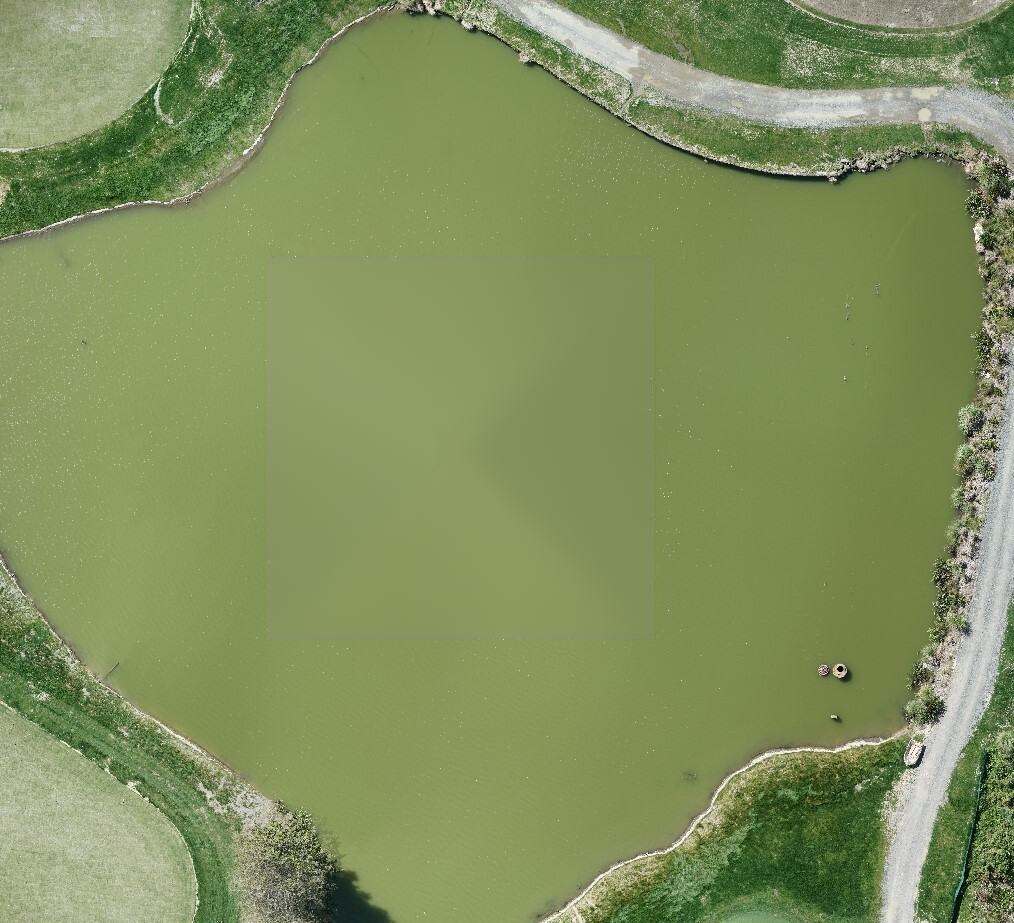
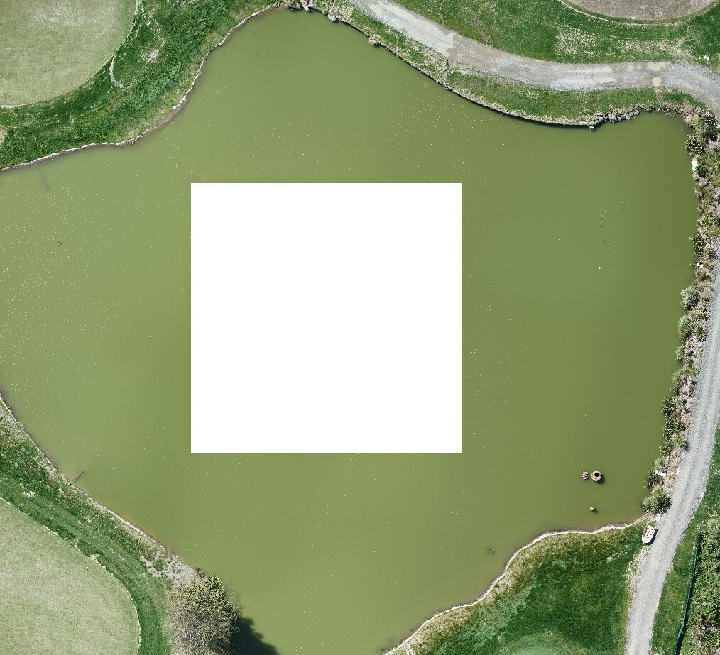
I have an ortho image from a drone flight and looking into filling in the square in the middle of the pond (underestimated the correlation between the area of the pond and flight altitude). Photoshop is the last resort.


I looked into using aerial images from the past as a background but the pond change dramatically so it's a no go.

Cheers,


I think cloning in photoshop will give you the best results.


In FME you could clip a small/medium square of water and then clone and offset it to cover the no data area and mosaic the original and the tiles together.


Alternatively you could make a texture out of part of the water, and then make a polygon of the no data area and apply the texture.


If this is a 'once-off' I don't really see FME as the best tool for this.

Hi @mkhovalko,


I just answered a similar question here - 

I gave a few tips there, but it looks like OpenCV Python Inpaint function gives the best result.


I will publish a custom transformer that does inpainting later today - look for RasterInpainter tomorrow, but here is the result of running it on your sample:

Dmitri


Reply