Question

Extracting a portion of a web page to some type of an image

  • May 13, 2020
  • 3 replies
  • 24 views

Hi All,

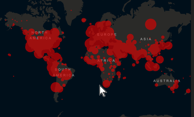
I'm attempting to extract rendered data from a web page that is embedded in an ESRI dashboard. I'm in search of the map itself.


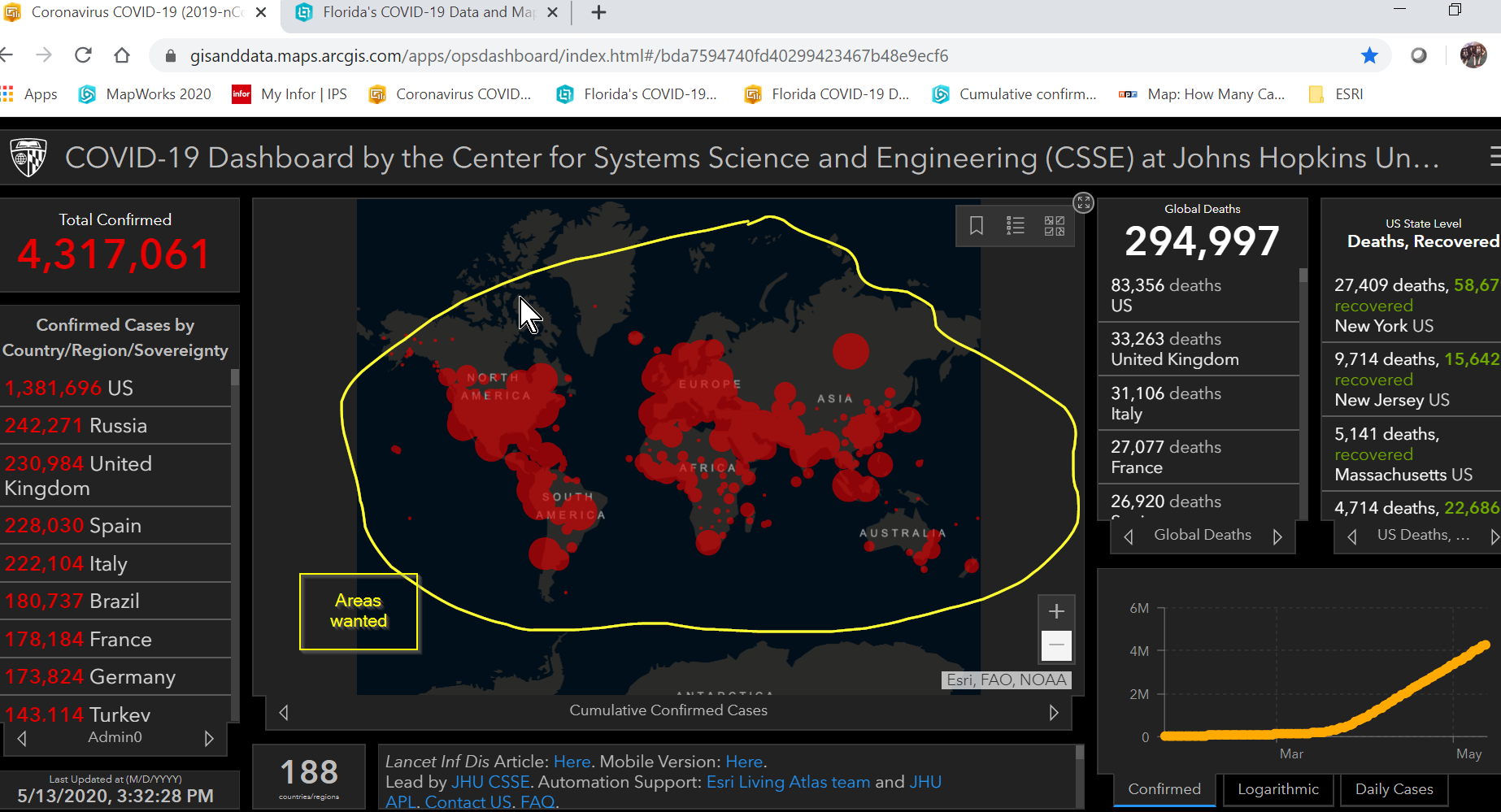
I can get all the surrounding data from the attributes of the feature classes. I am in need of just the rendered map to put into a jpg, tiff, pdf, or whatever.

Has anyone had any luck with doing such a thing? I've been working with HTTPCaller, ImageFetcher, ArcGIS Server and Portal Services (the real one is internal data, but this will work too for learning).

Maybe use HTTPExtractor?

If there is a way of extracting the map only, then I'd also be interested in being able to specify coordinates as well in order to grab specific areas of said map for other images.

Thanks,

Jazmateta

This post is closed to further activity.
It may be an old question, an answered question, an implemented idea, or a notification-only post.
Please check post dates before relying on any information in a question or answer.
For follow-up or related questions, please post a new question or idea.
If there is a genuine update to be made, please contact us and request that the post is reopened.

3 replies

Forum|alt.badge.img+2
  • 194 replies
  • May 13, 2020

  • Author
  • 1 reply
  • May 14, 2020

Yes, I have the service to get to it.

I'm attempting to pull the graphic image with the rendering that is being done. I have a web site with very similar data shown as a heat map. I want the heat map image to be as a jpg or pdf for publication by someone that doesn't have access to the dashboard (ours). I.E. in this case - the map image only as it is is shown in the dashboard:

Thanks,

Jazmateta


Forum|alt.badge.img+2
  • 194 replies
  • May 14, 2020

Yes, I have the service to get to it.

I'm attempting to pull the graphic image with the rendering that is being done. I have a web site with very similar data shown as a heat map. I want the heat map image to be as a jpg or pdf for publication by someone that doesn't have access to the dashboard (ours). I.E. in this case - the map image only as it is is shown in the dashboard:

Thanks,

Jazmateta

Got ya,


If the site can't use a java script viewer, you can export it from ArcGIS/ArcPro. Create a grid and use the data driven pages or map series functions to export out a tiled image, mosaic them into one, and go from there.